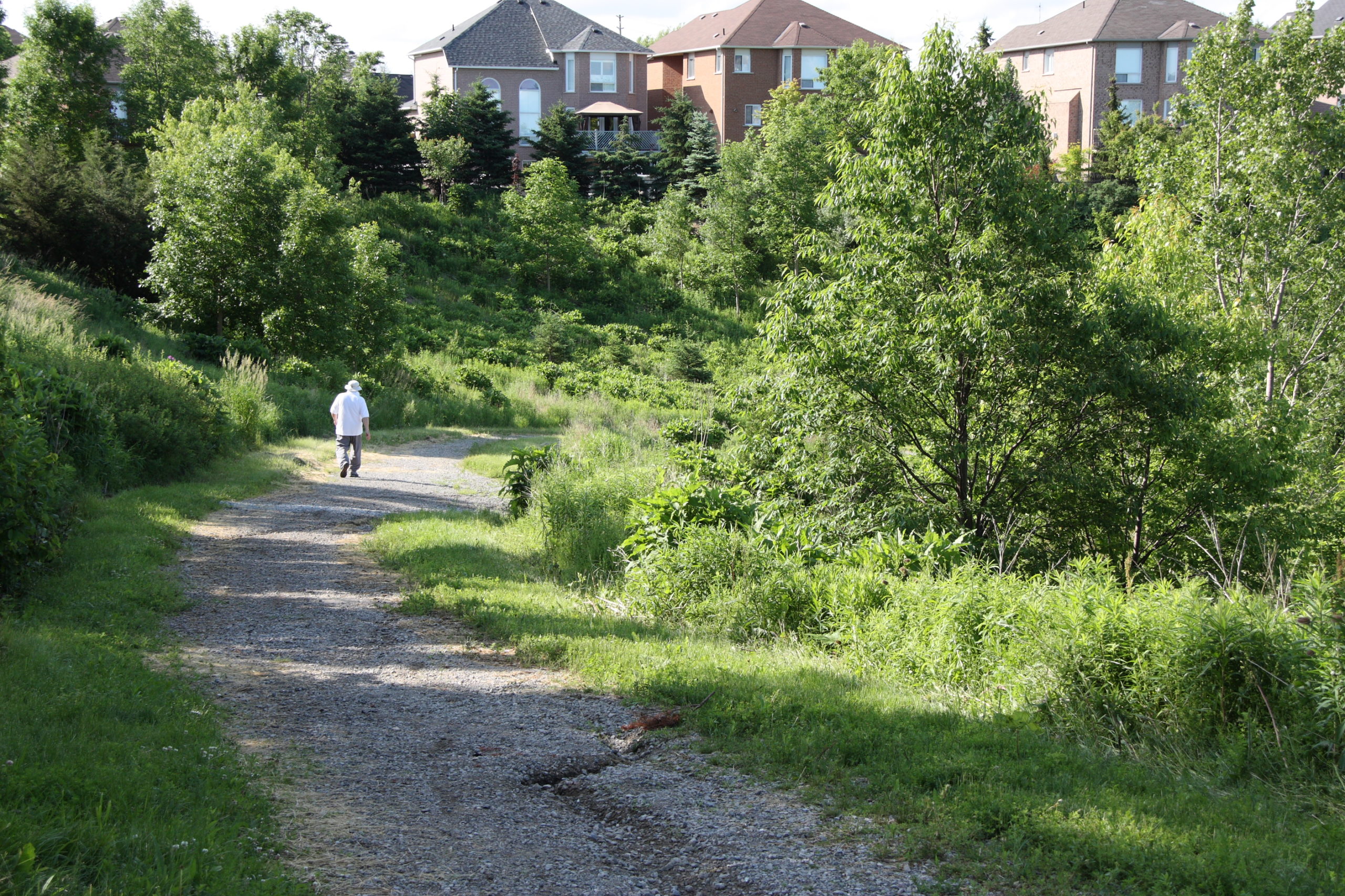
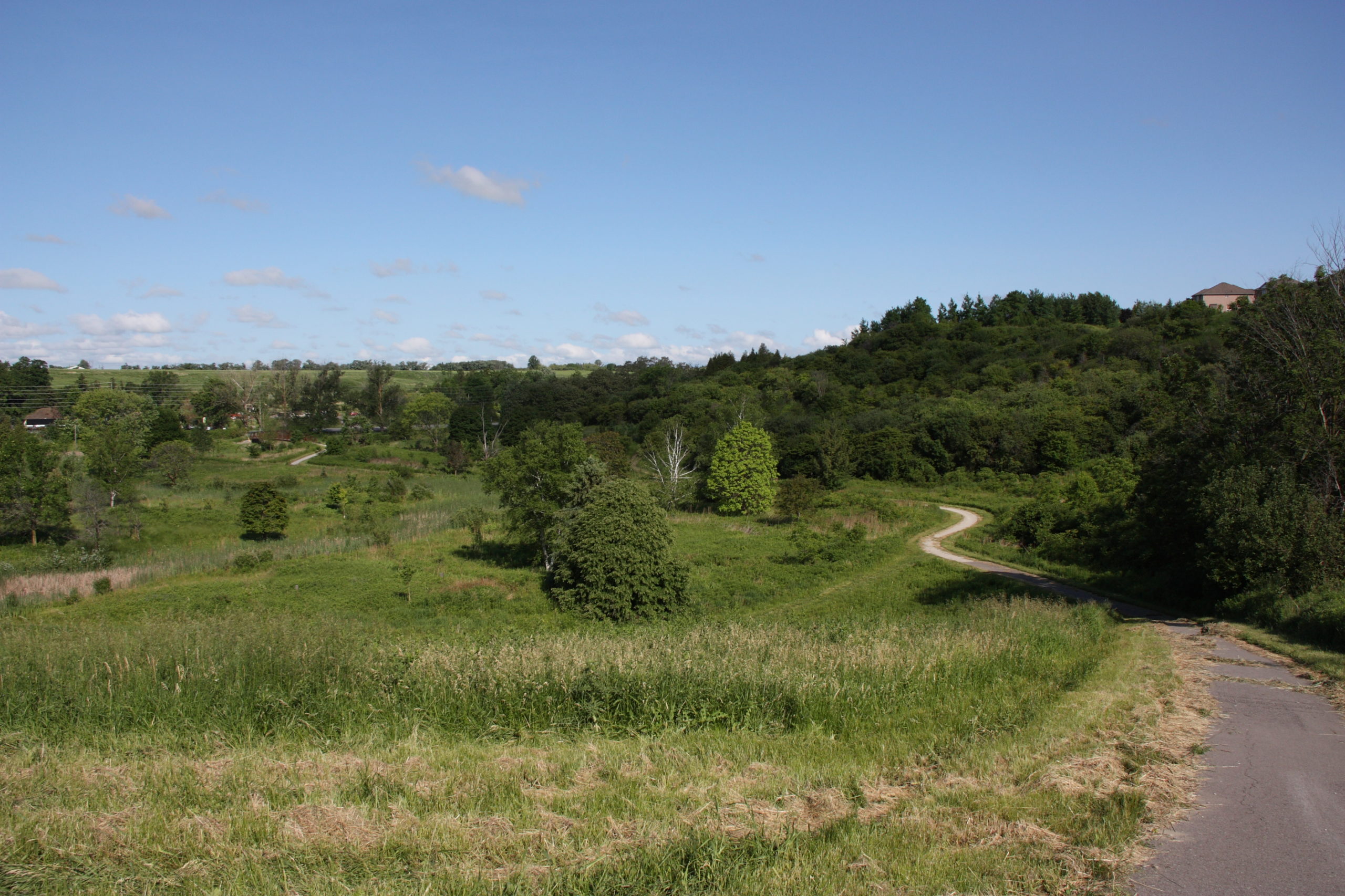
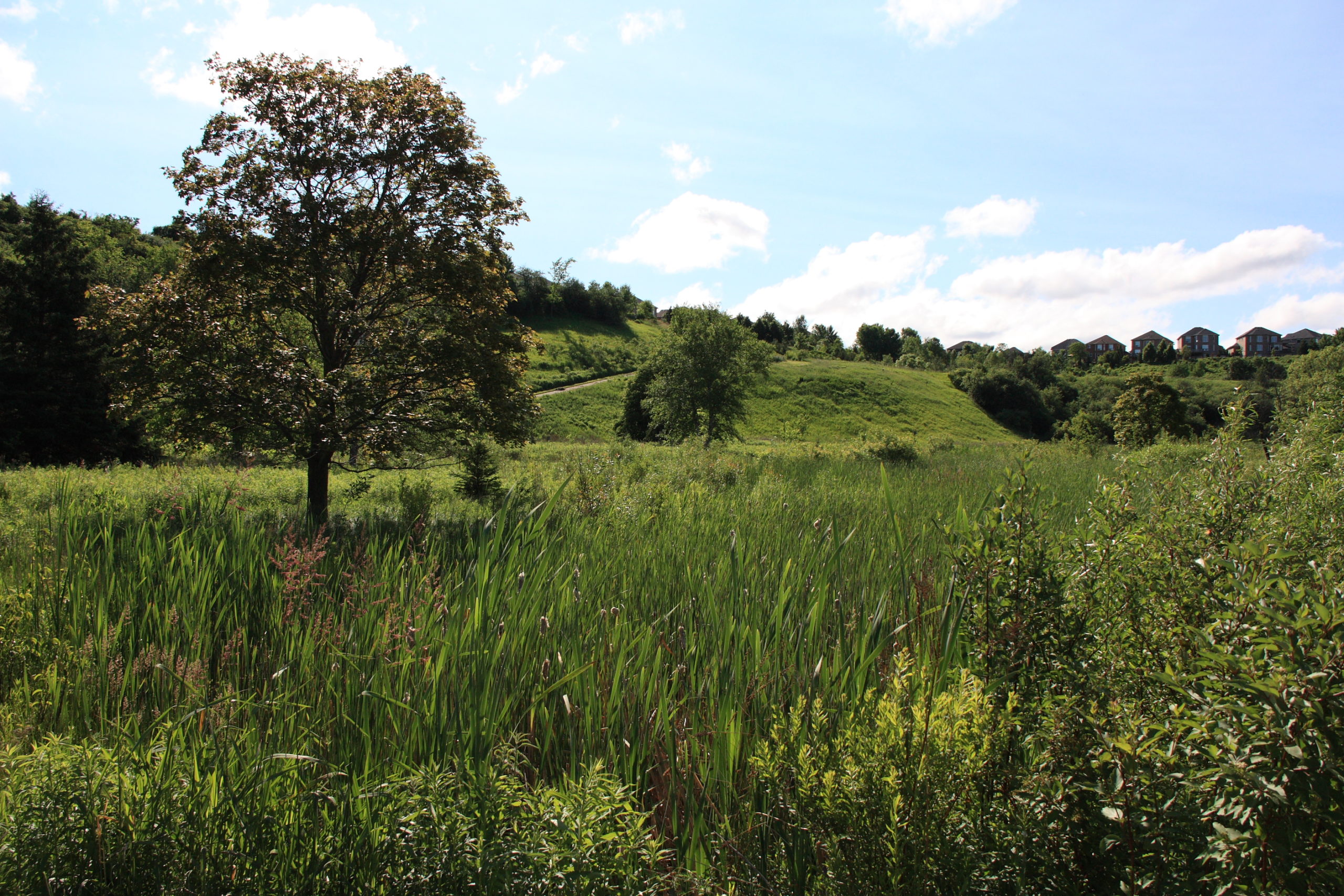
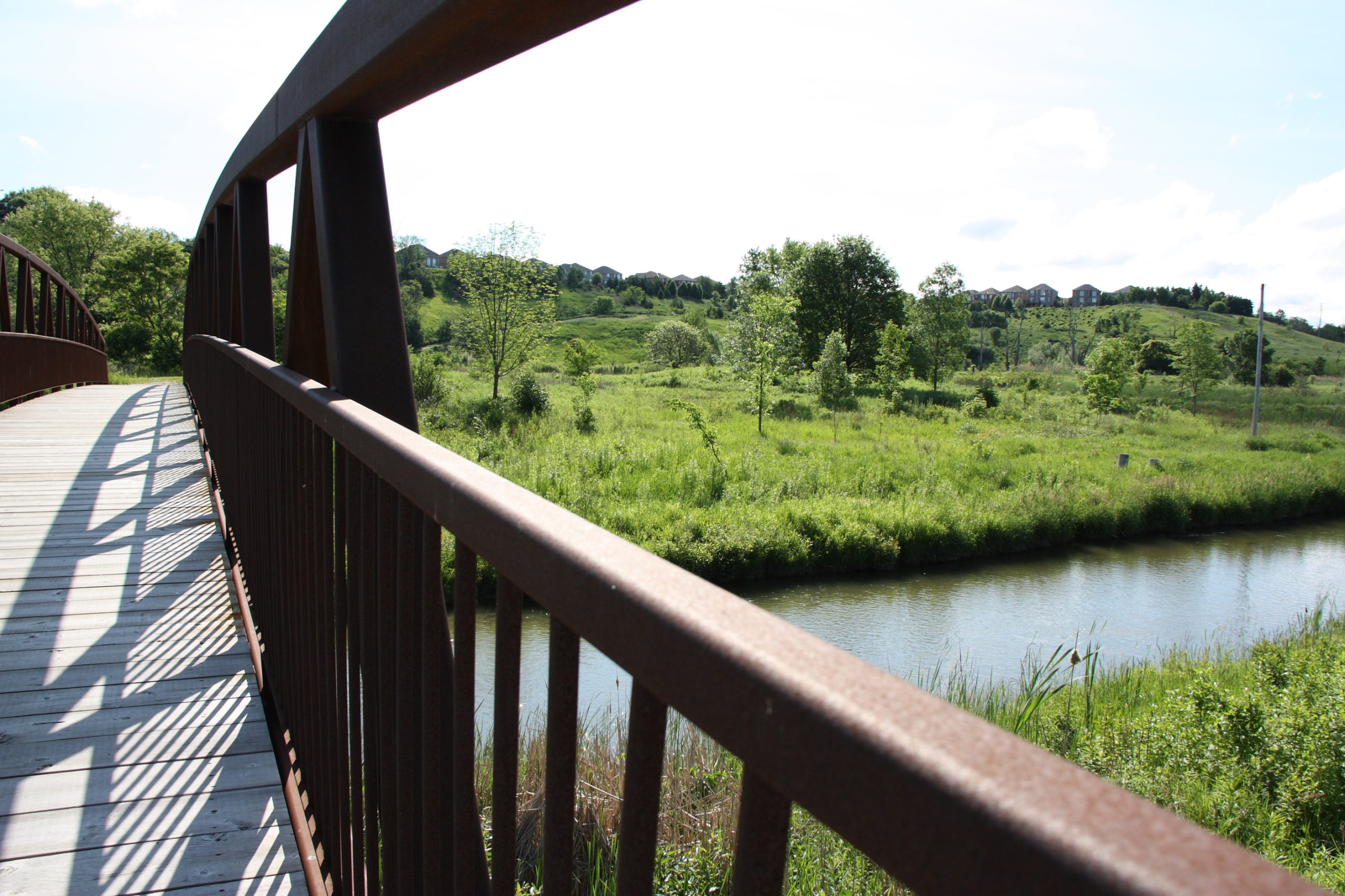
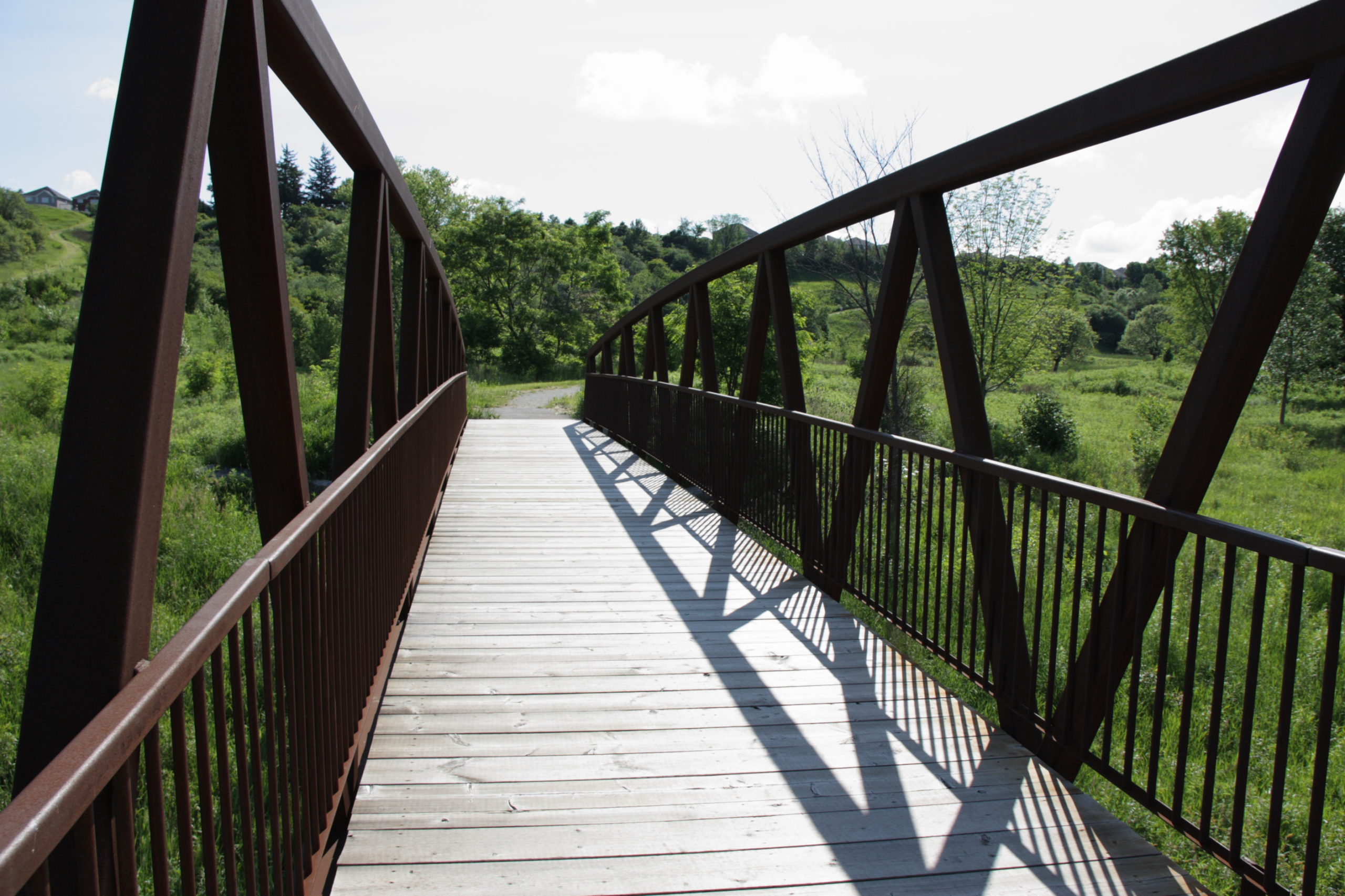
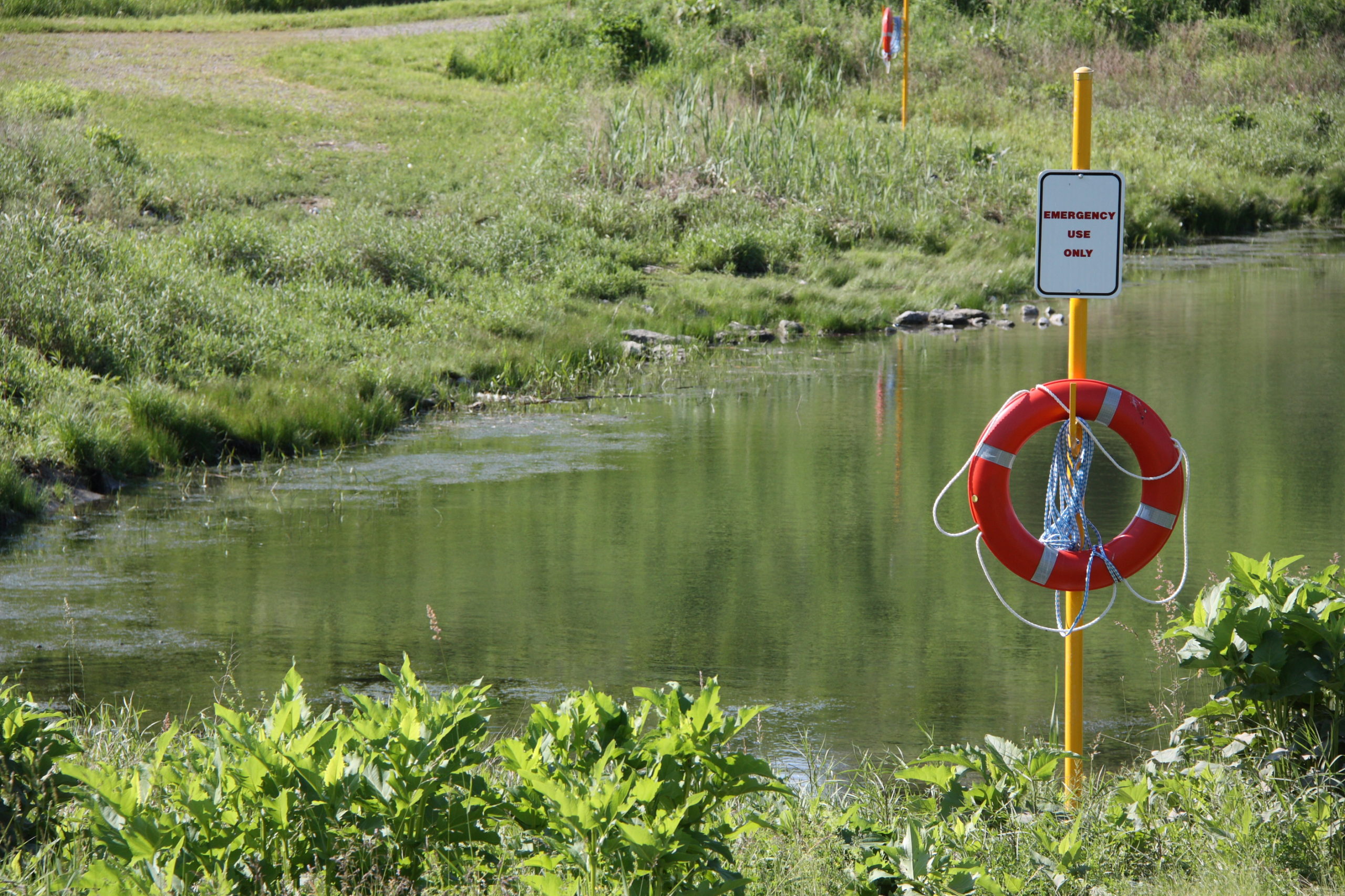
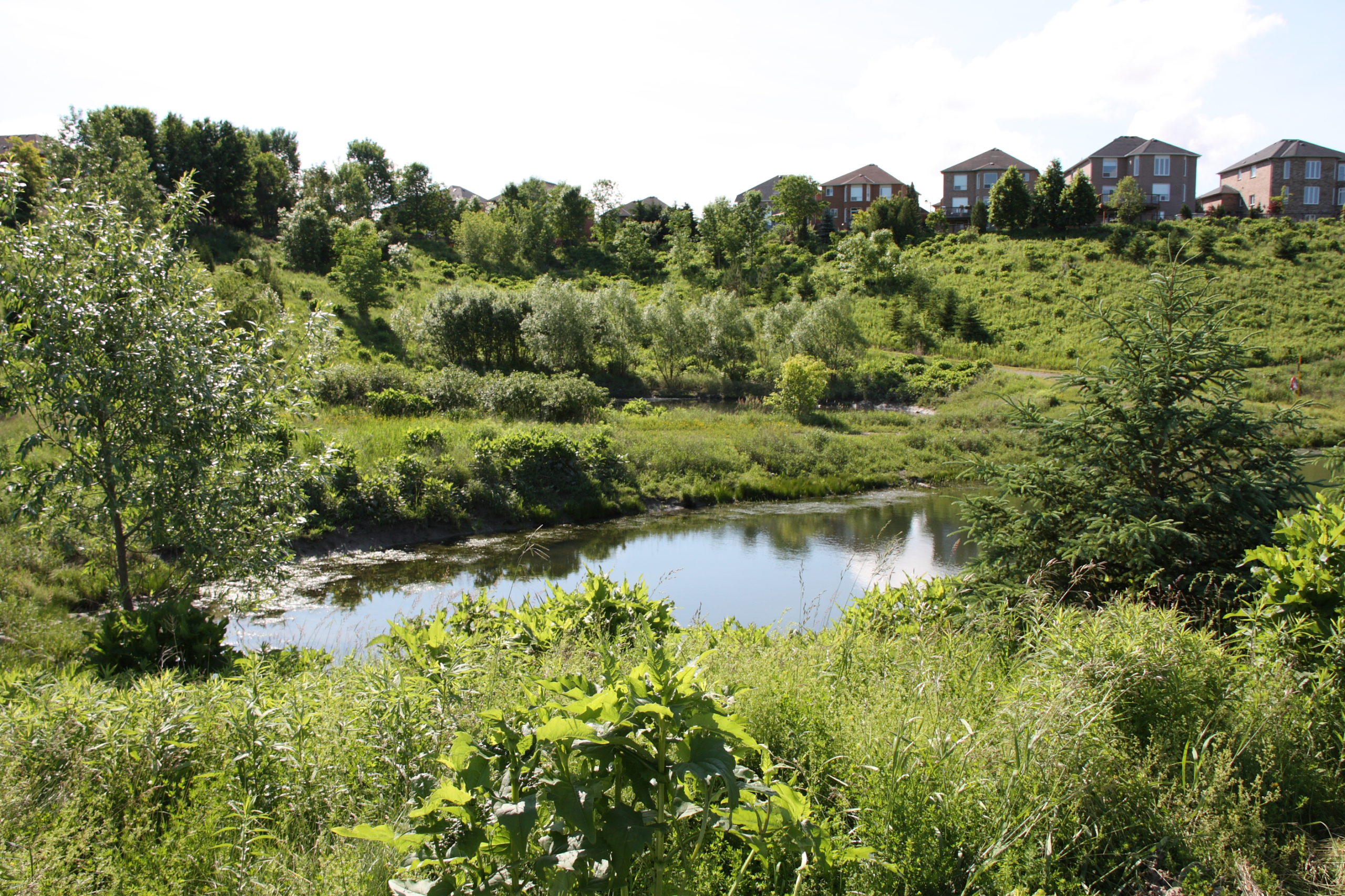
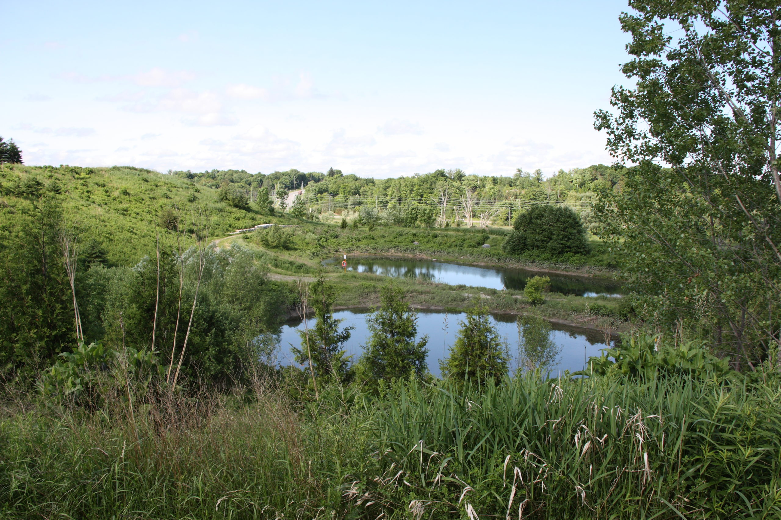
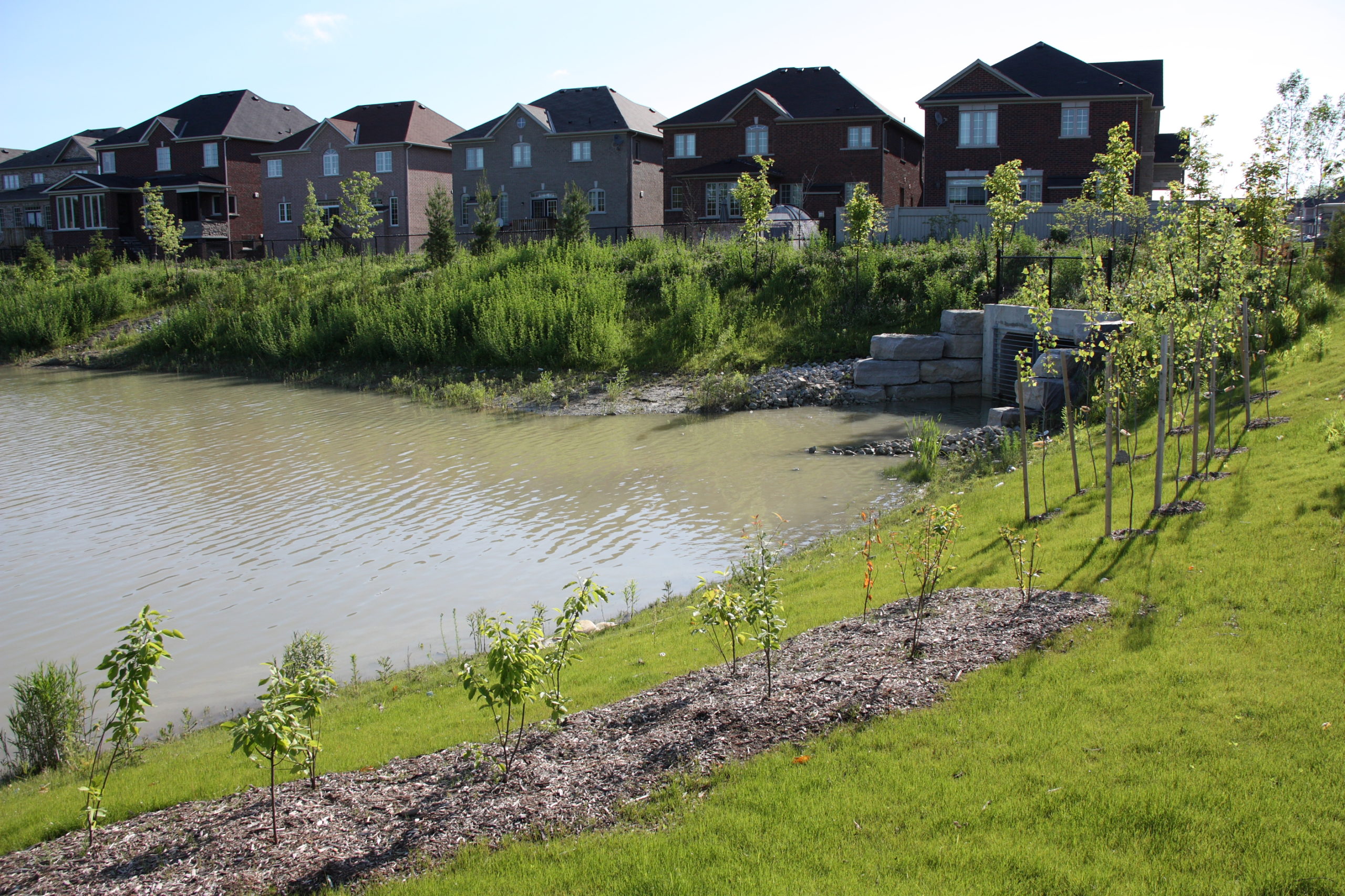
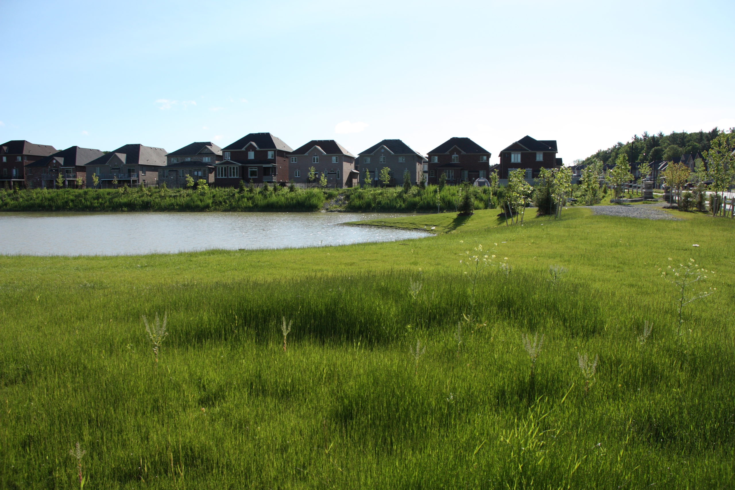
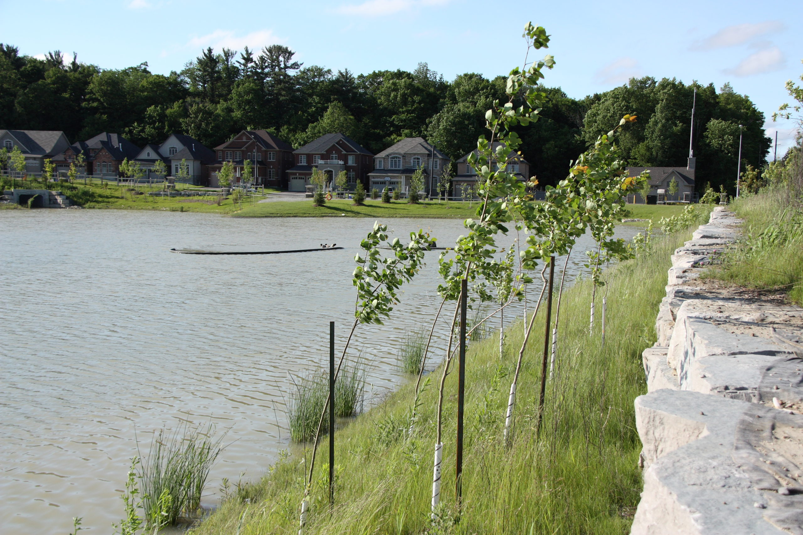
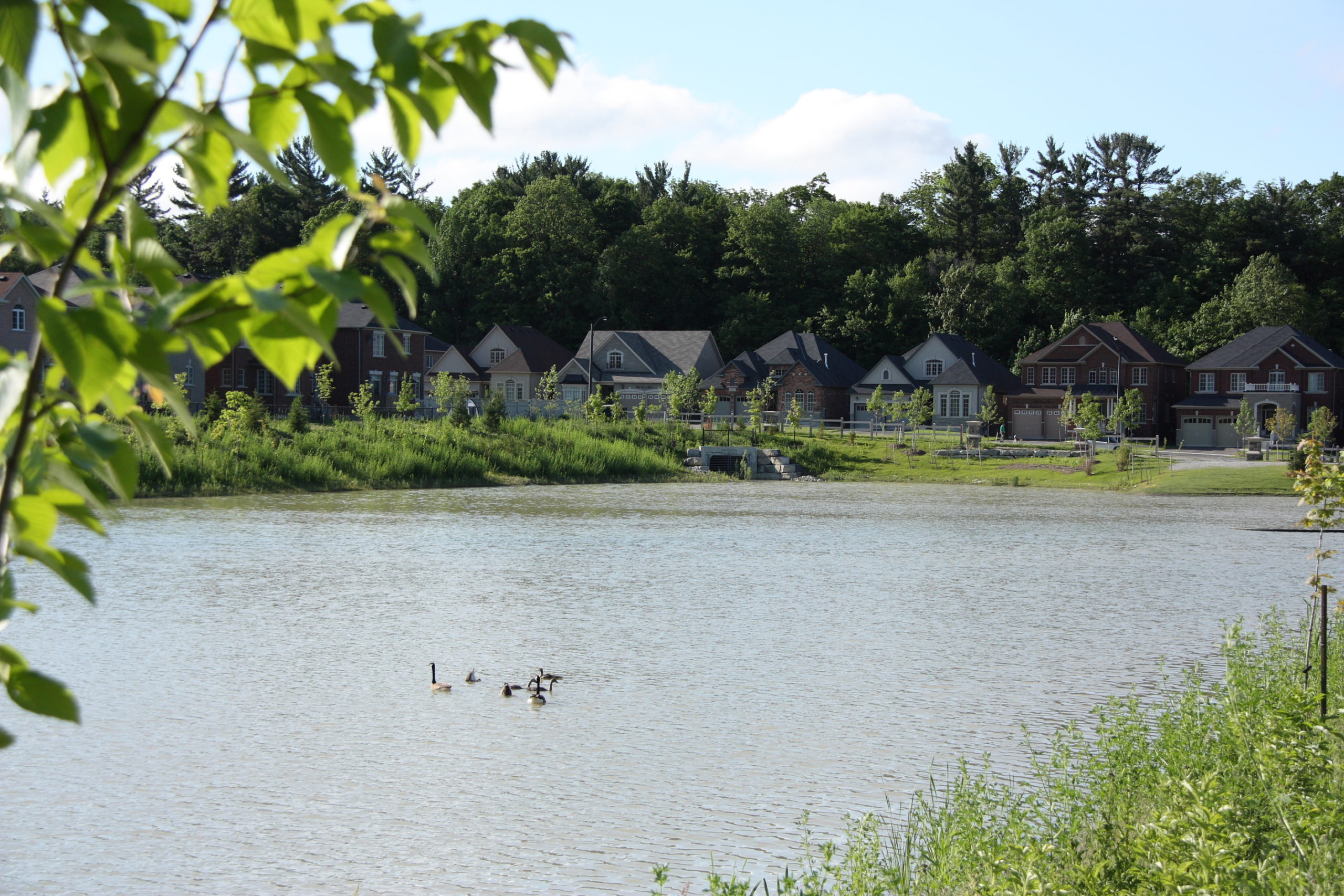
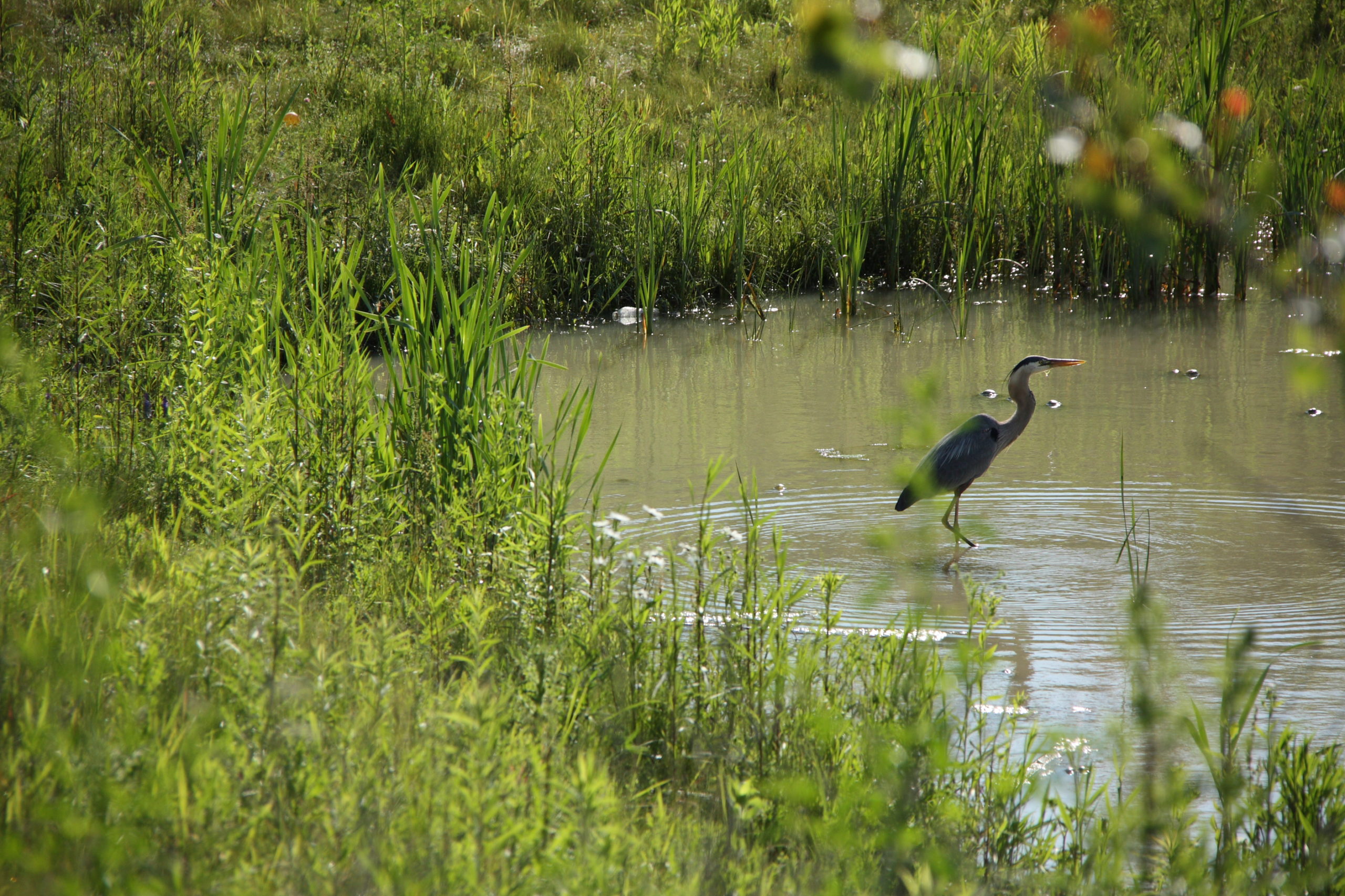
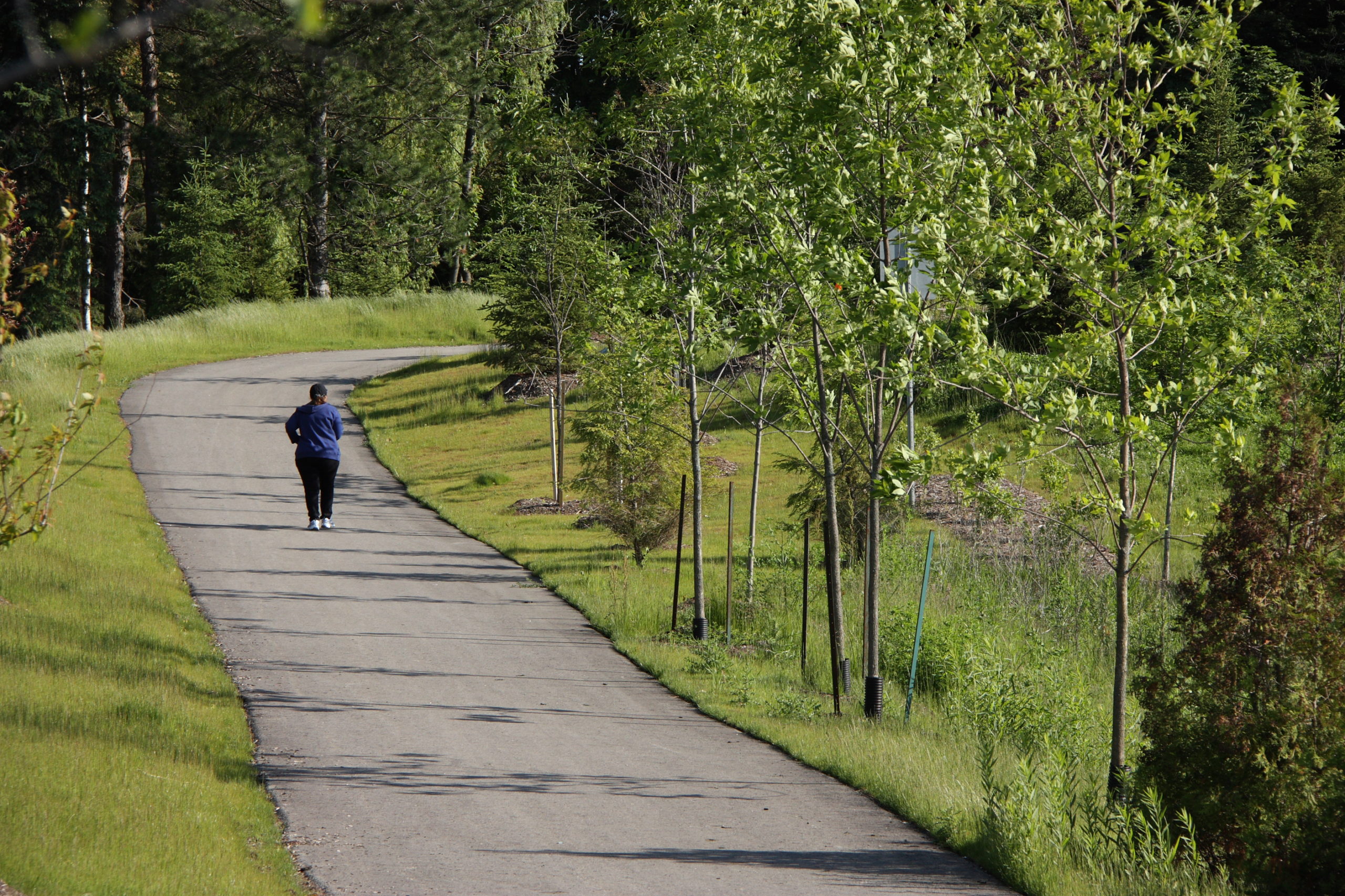
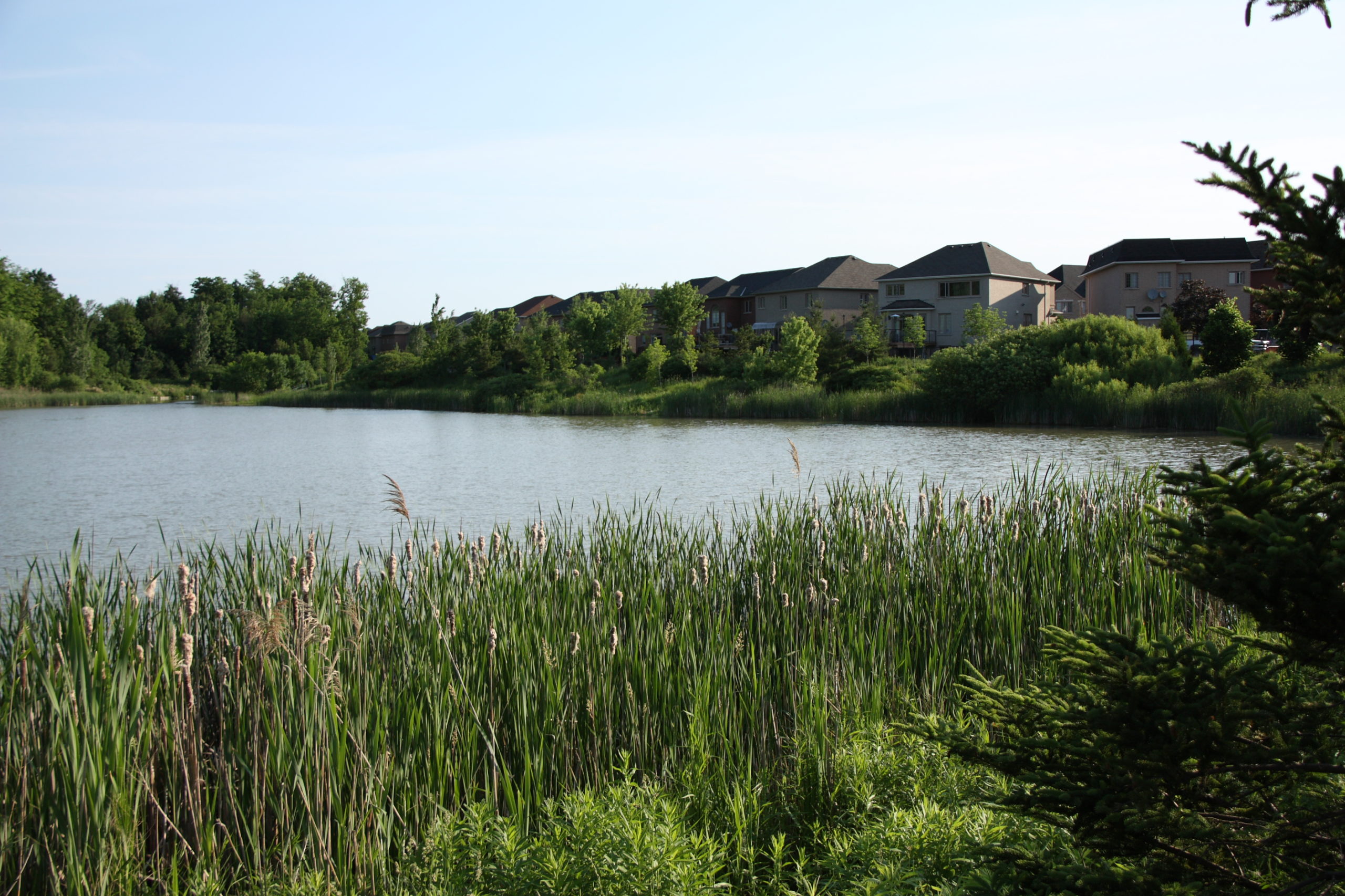
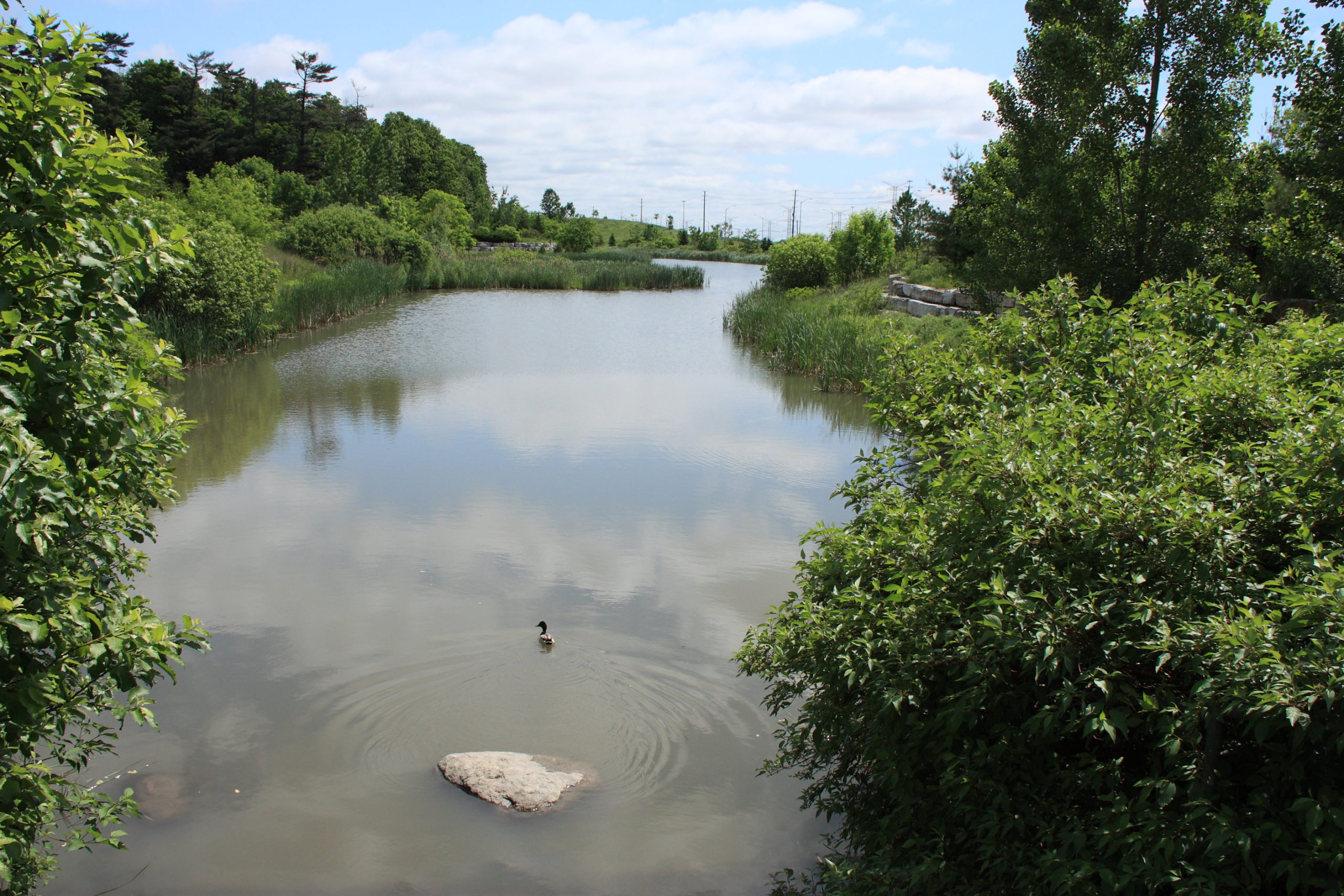
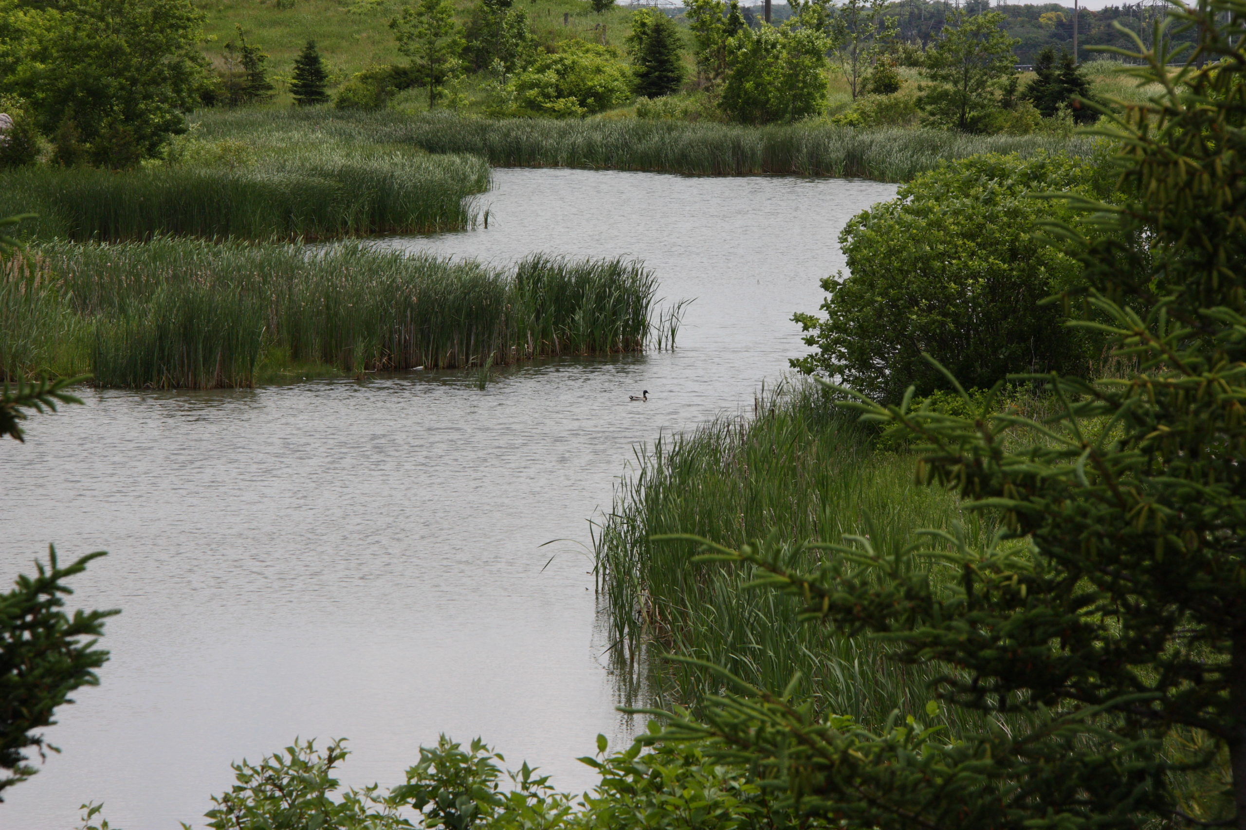
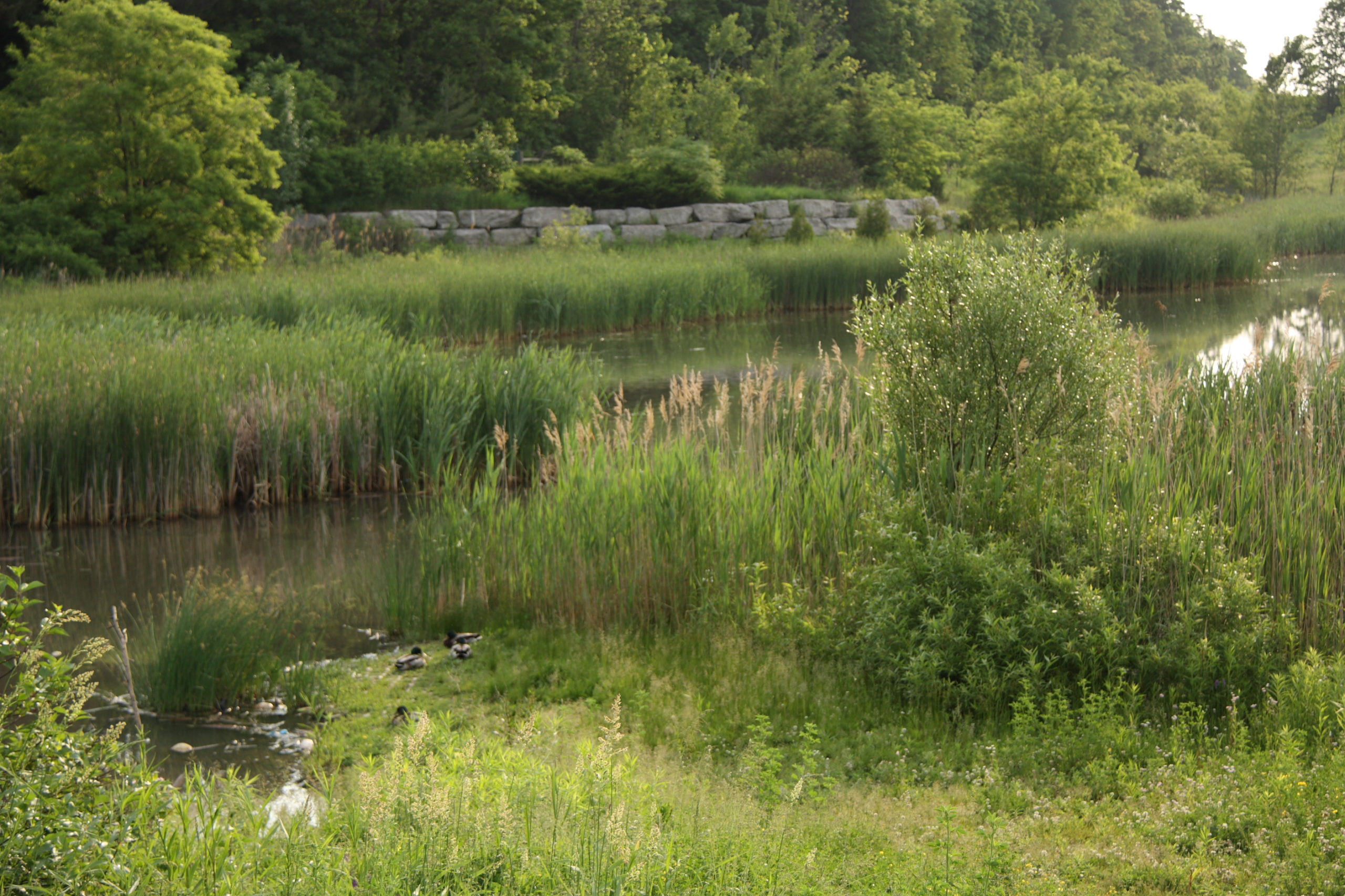
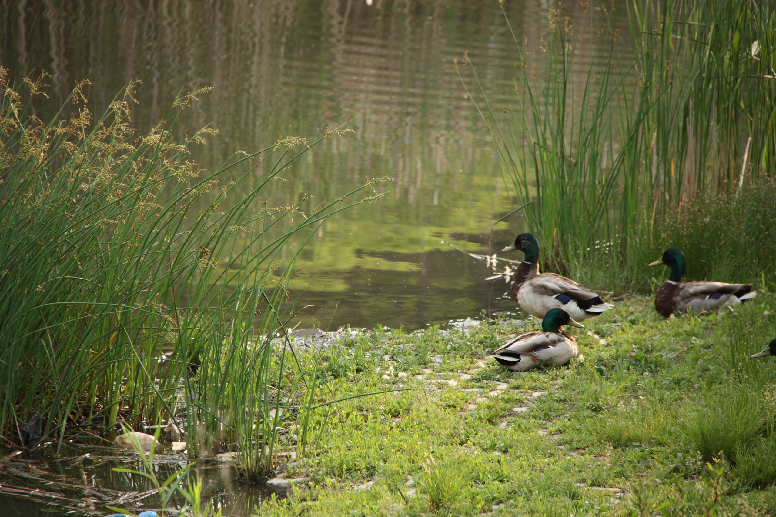
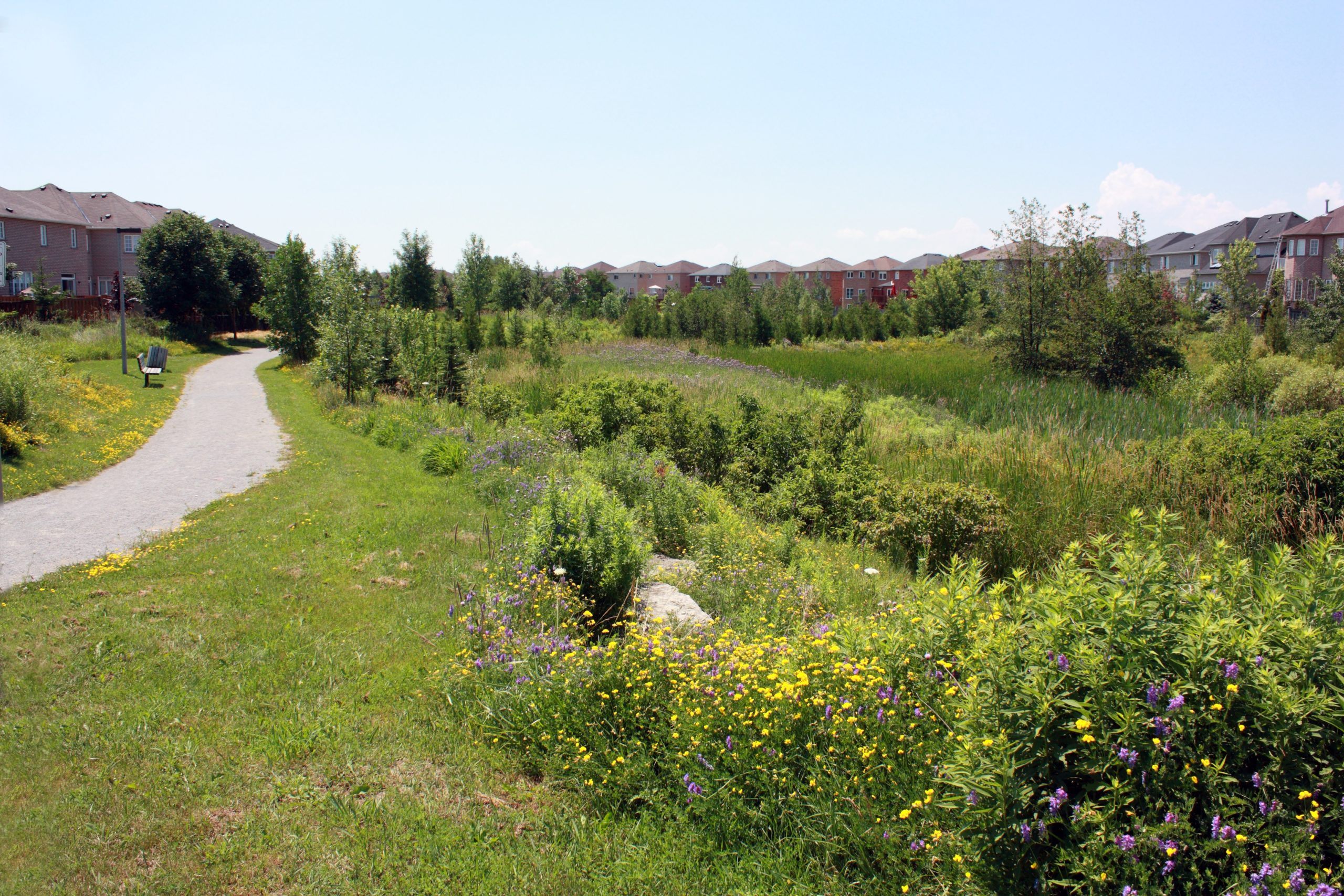
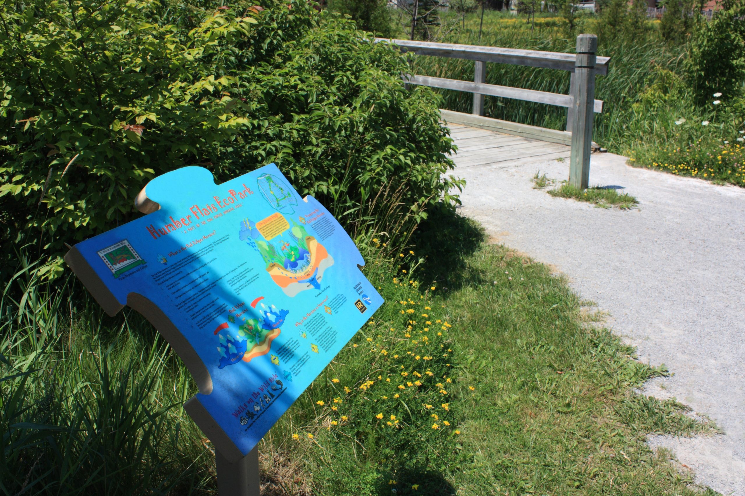
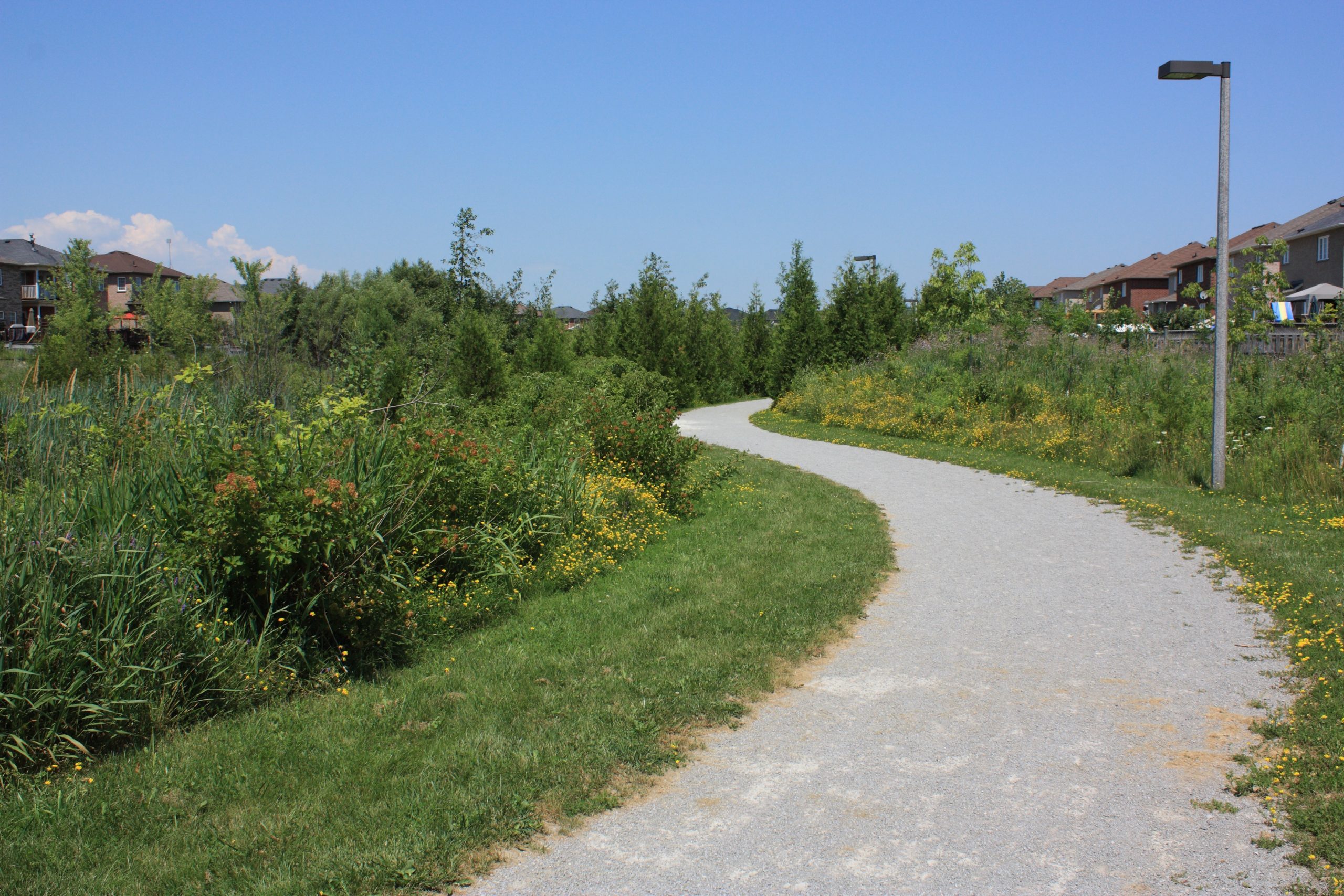
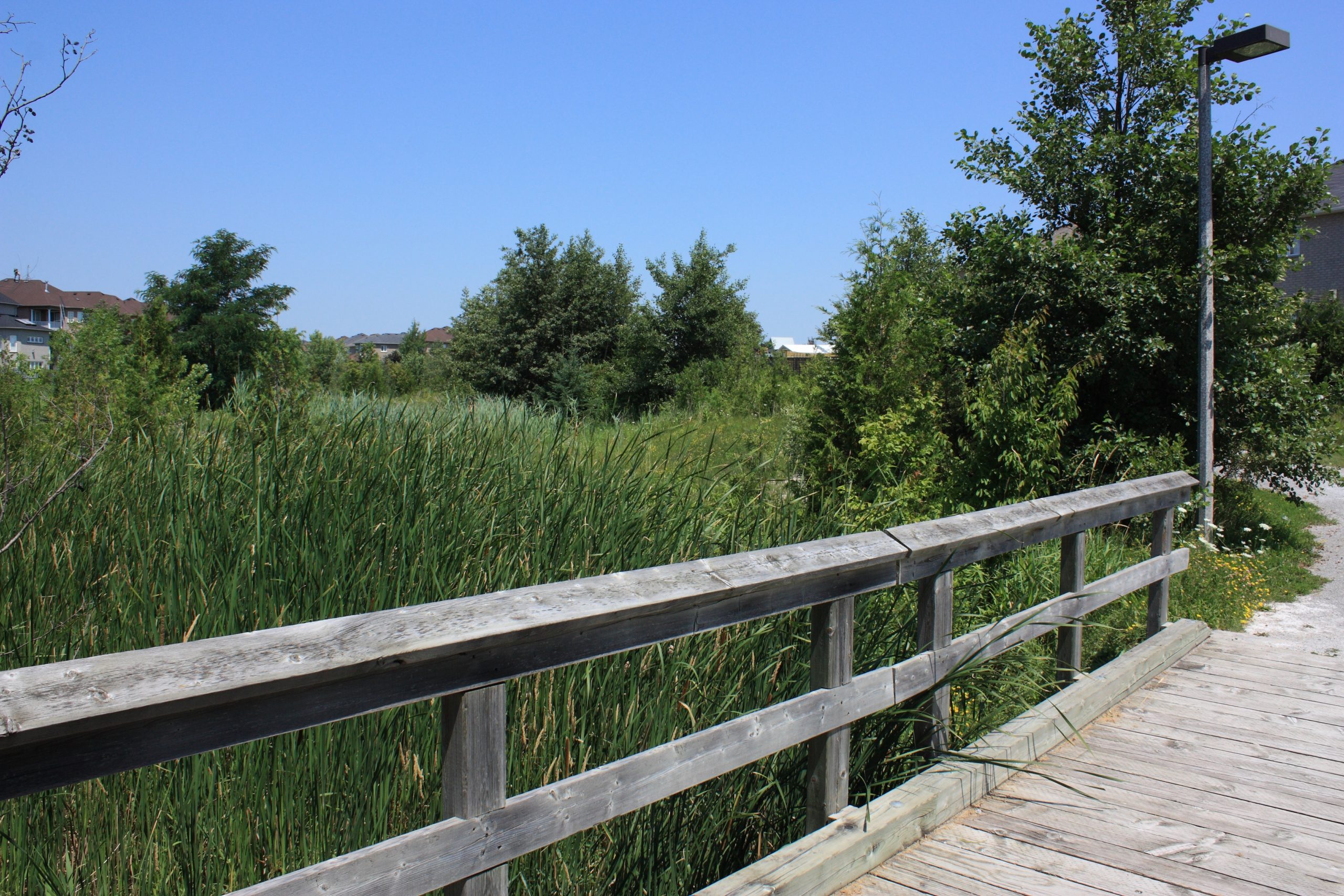
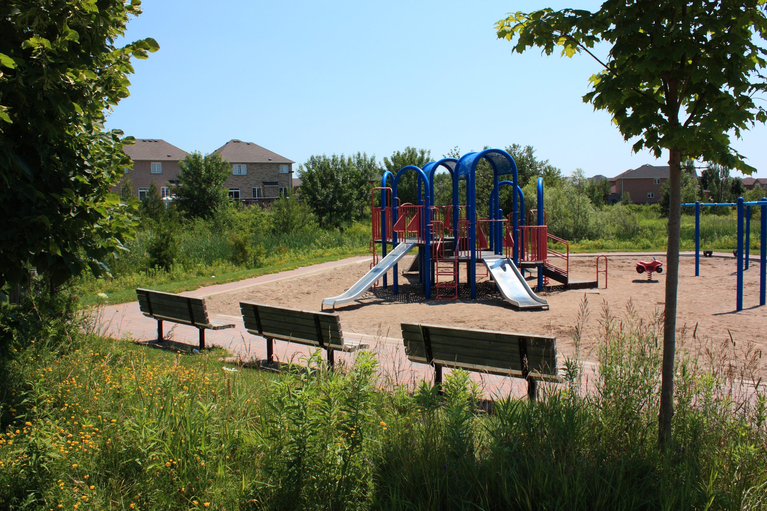
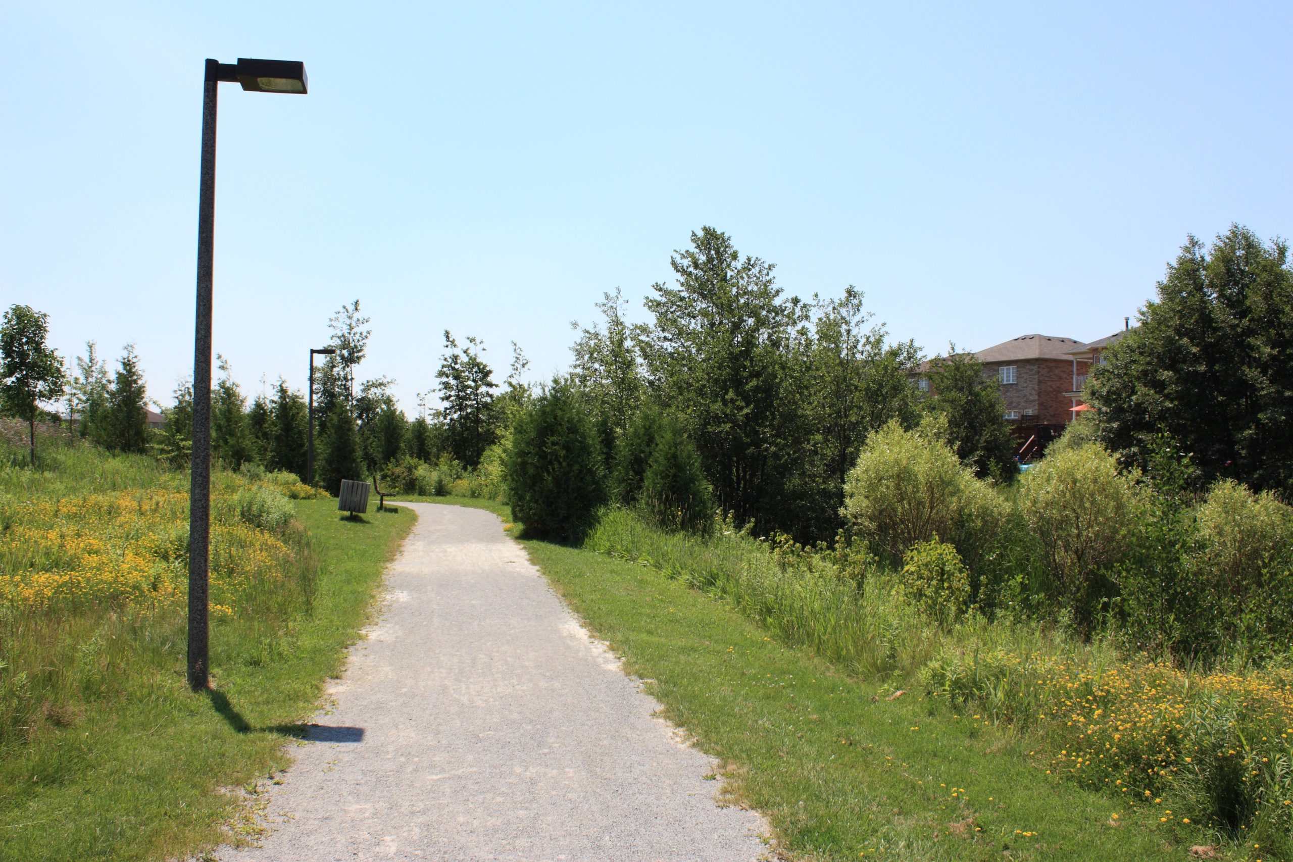
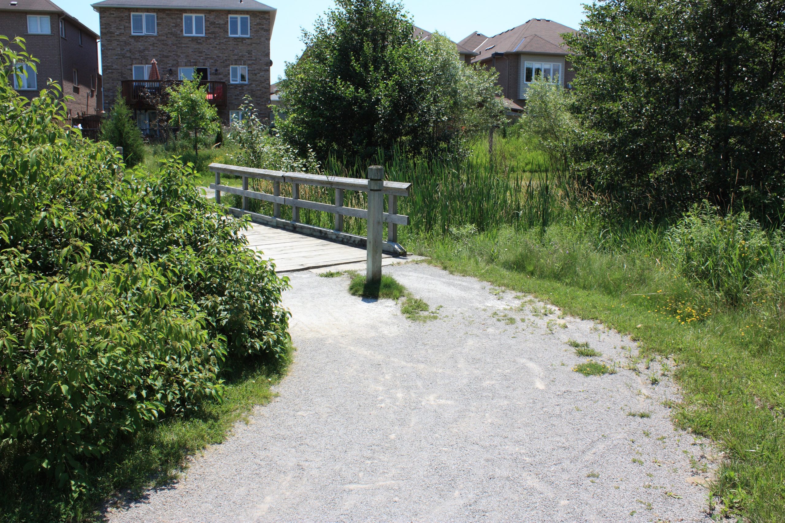
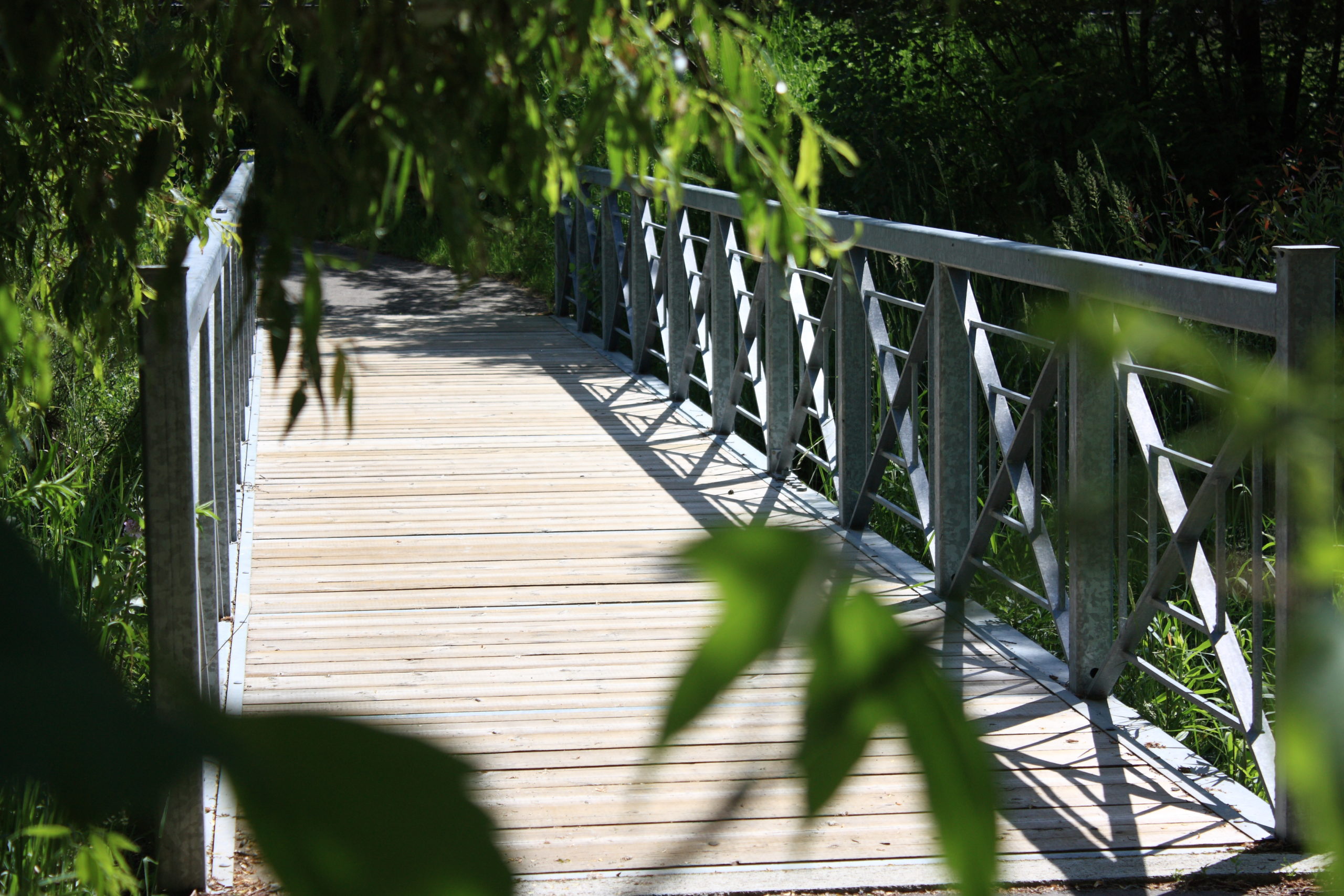
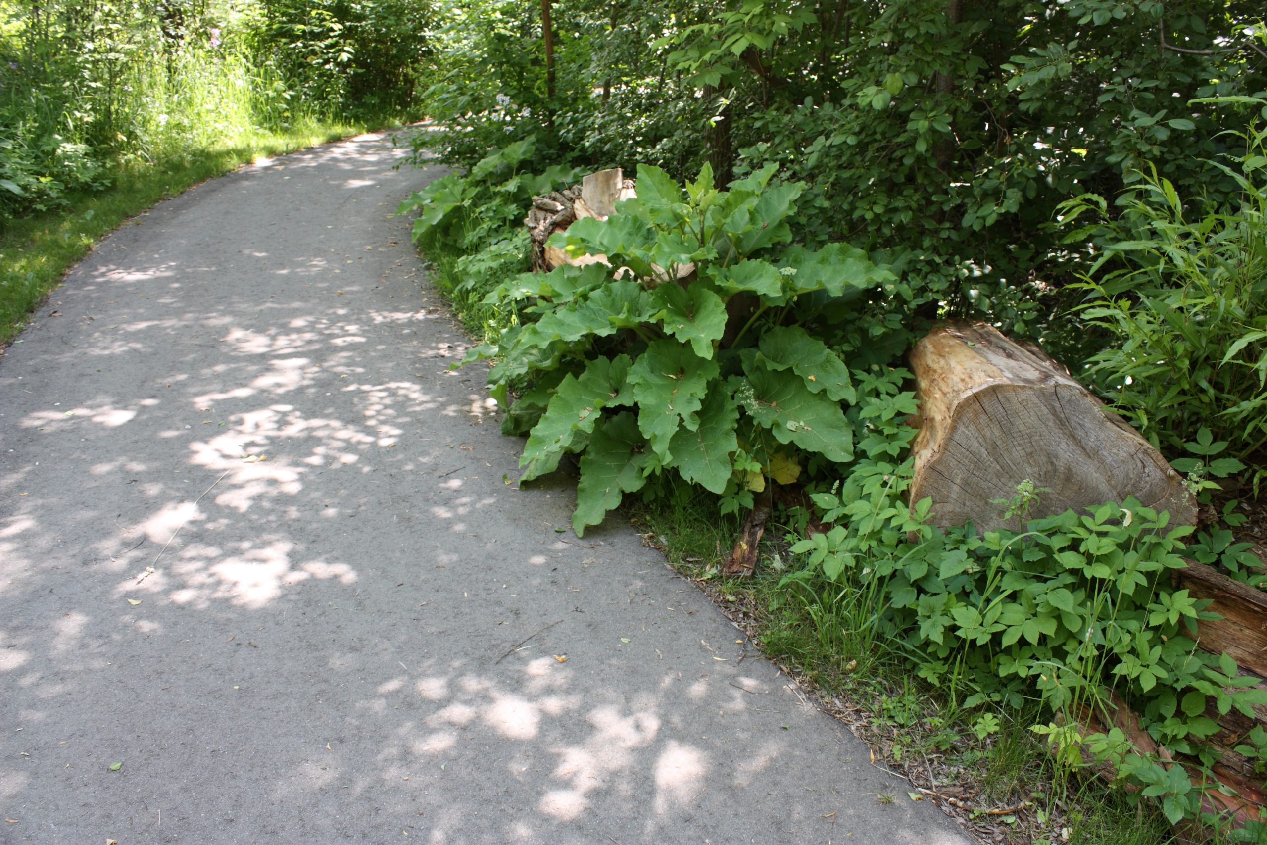
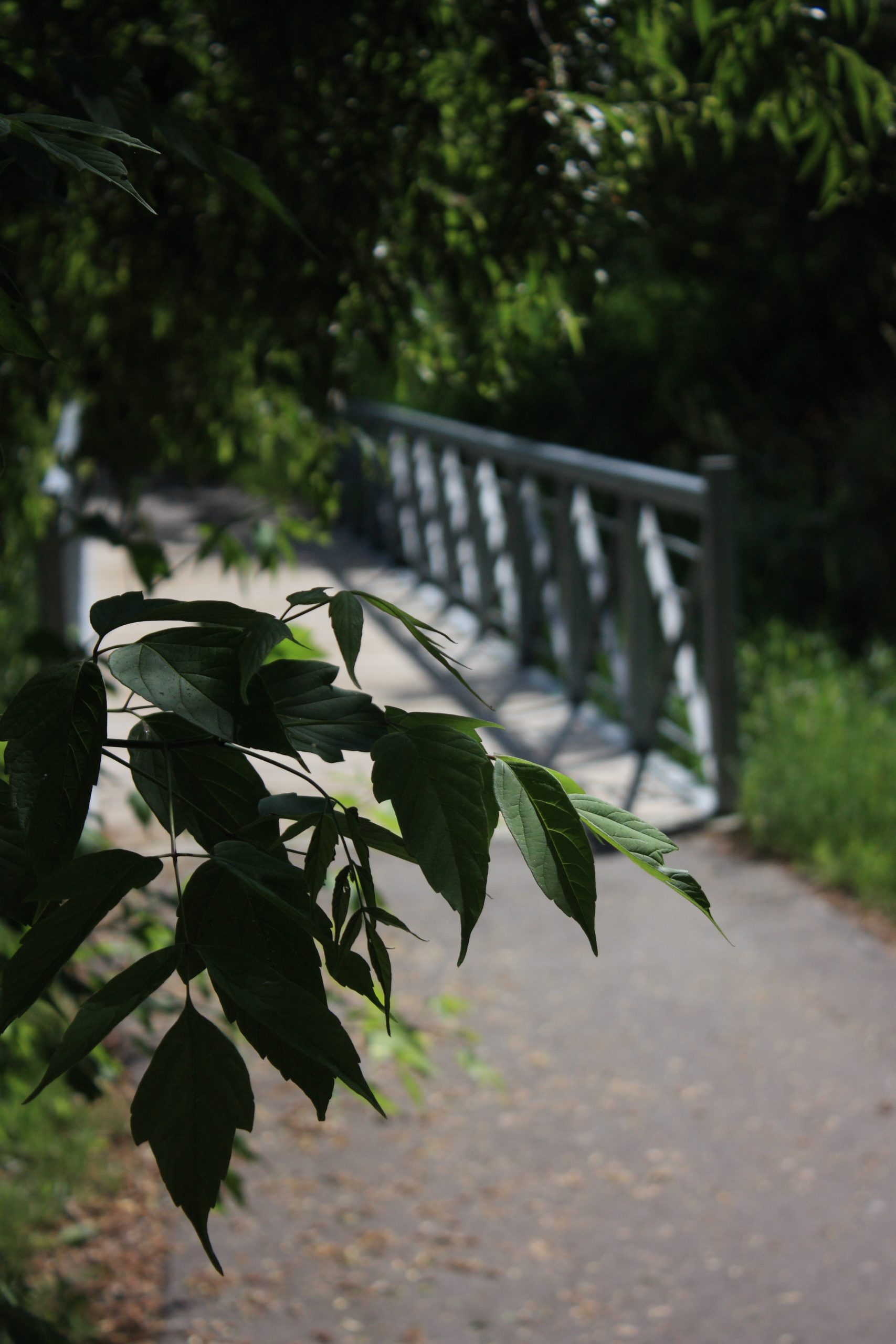
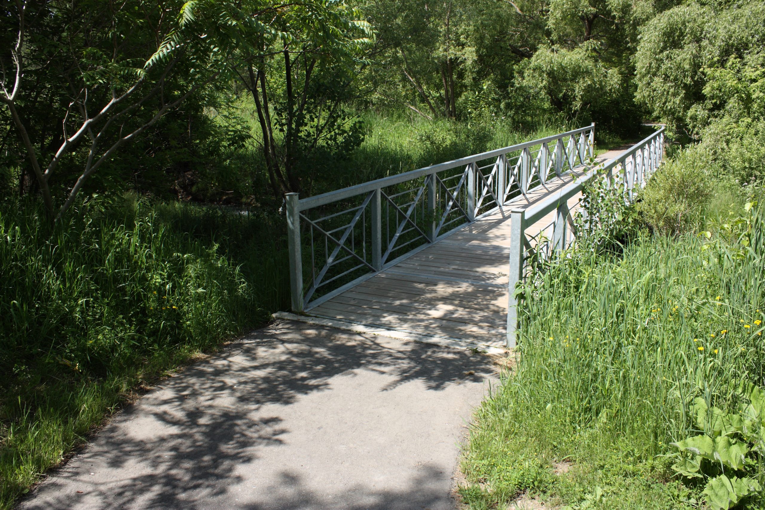
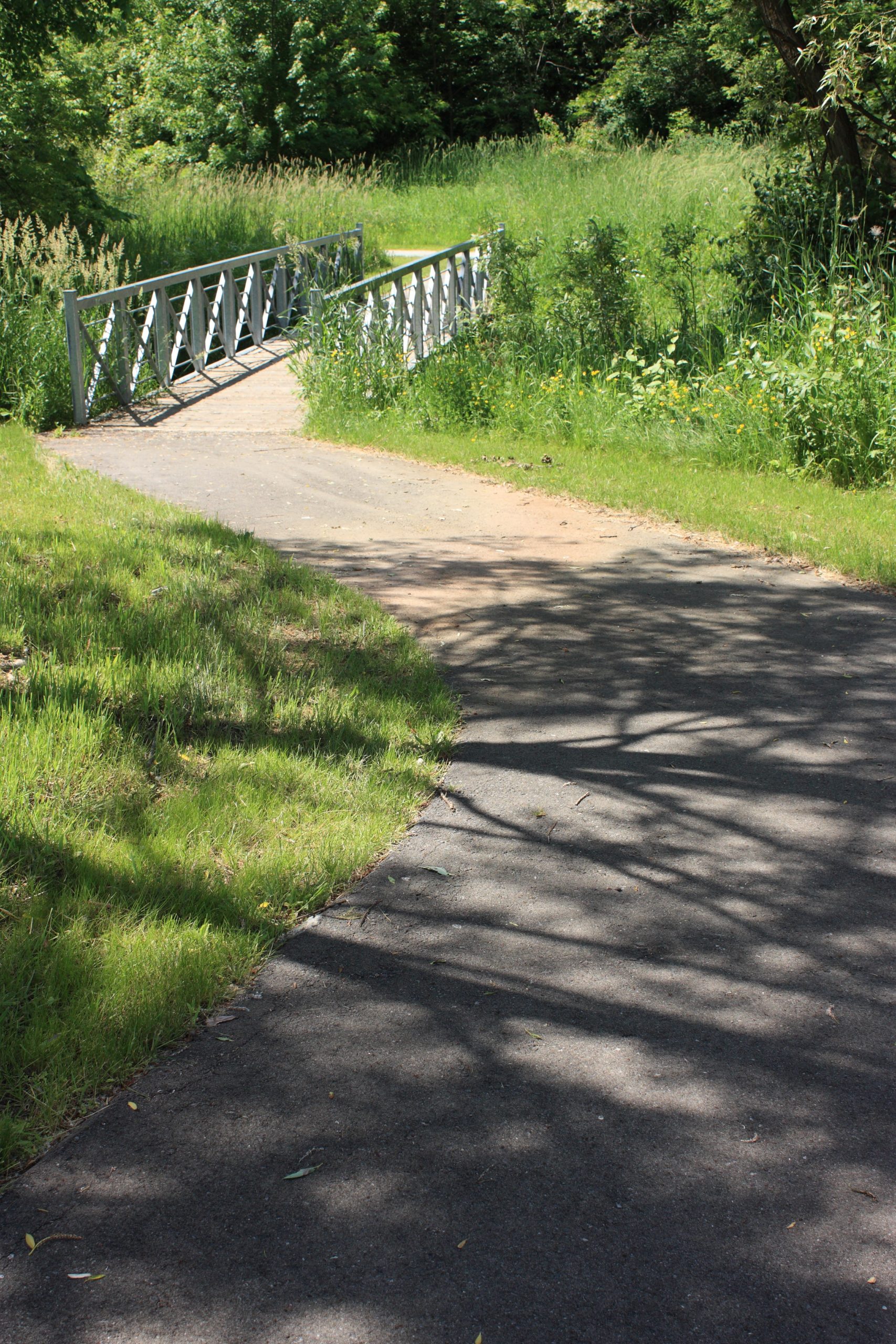
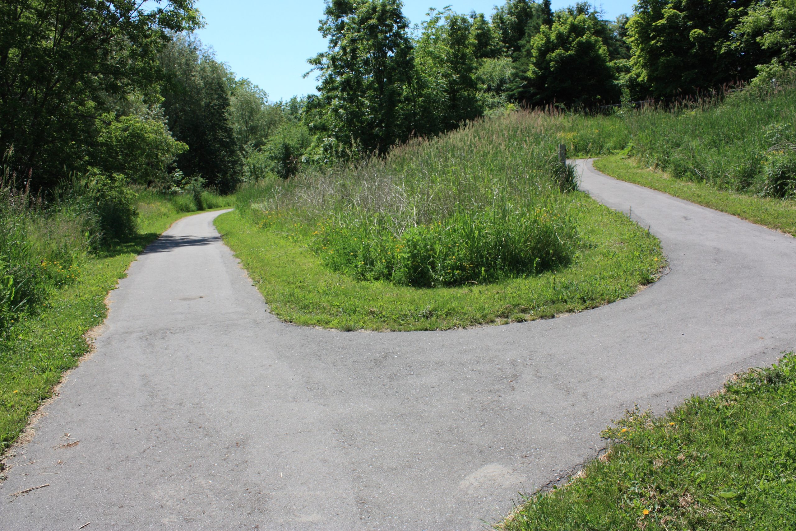
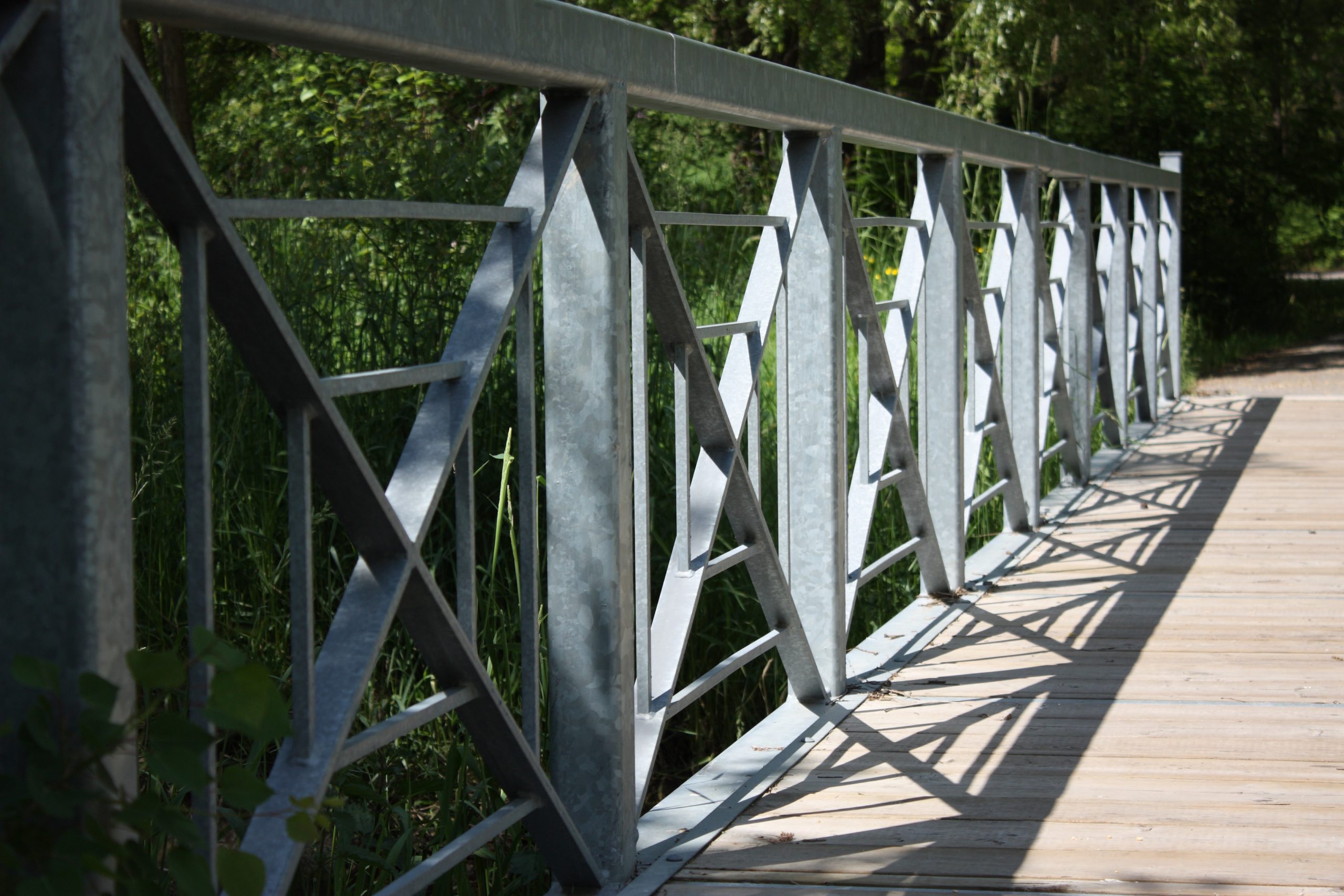
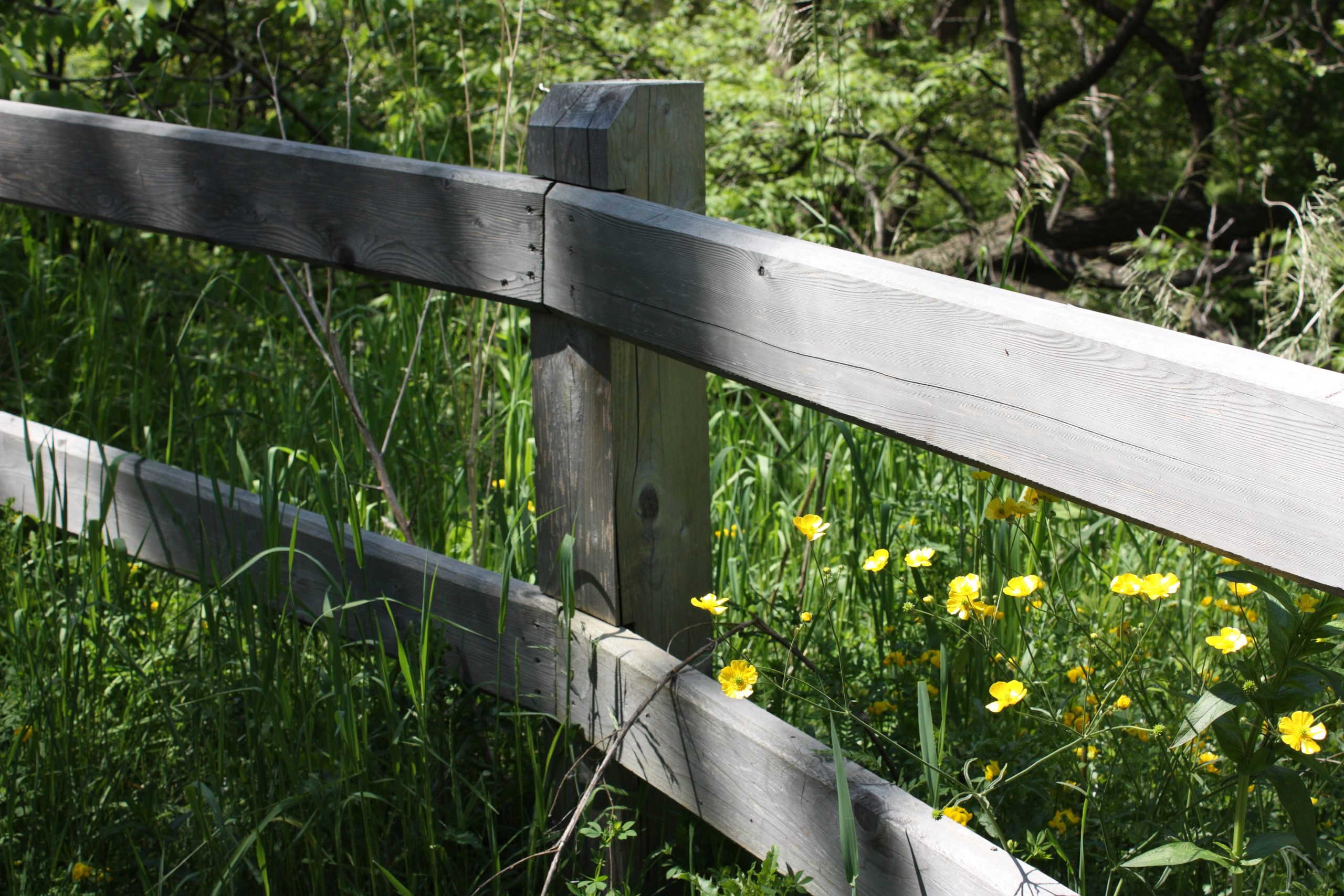
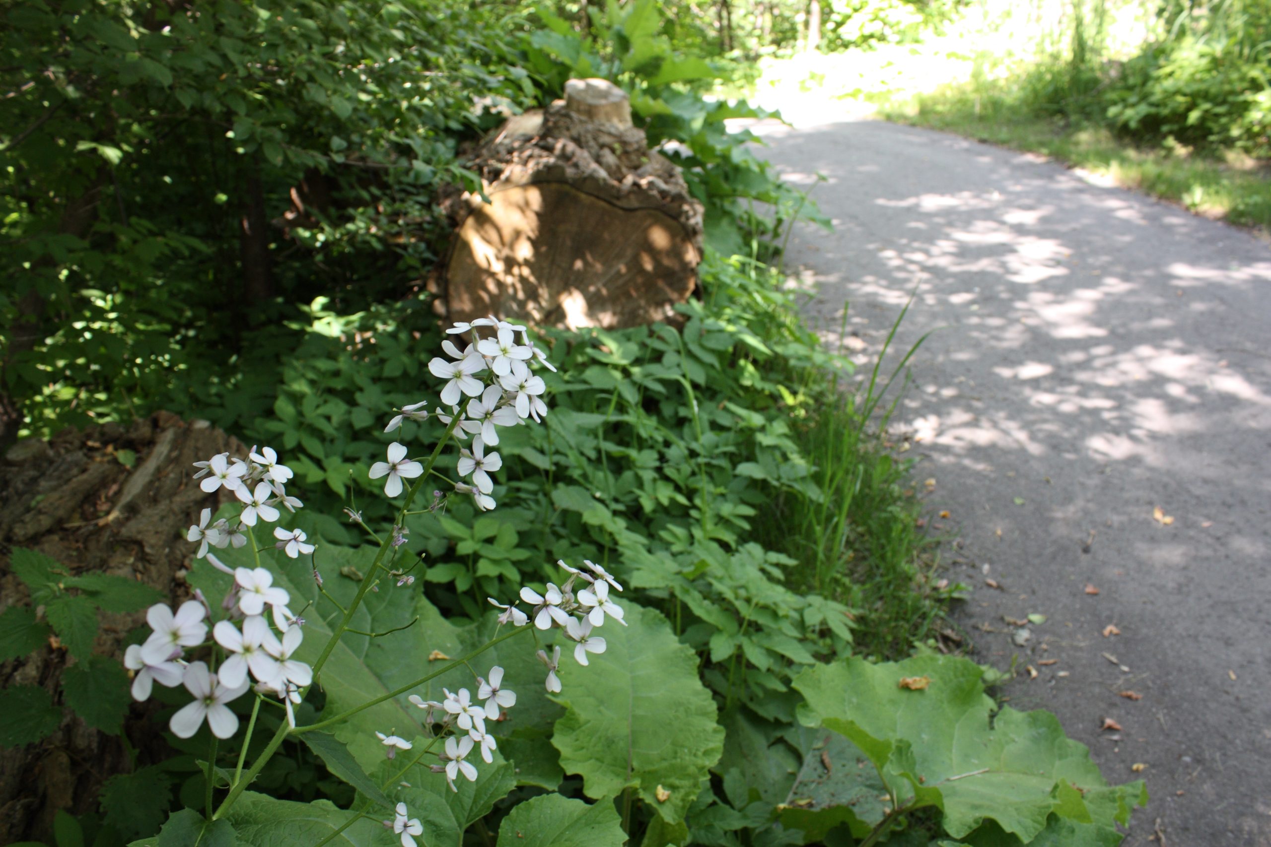
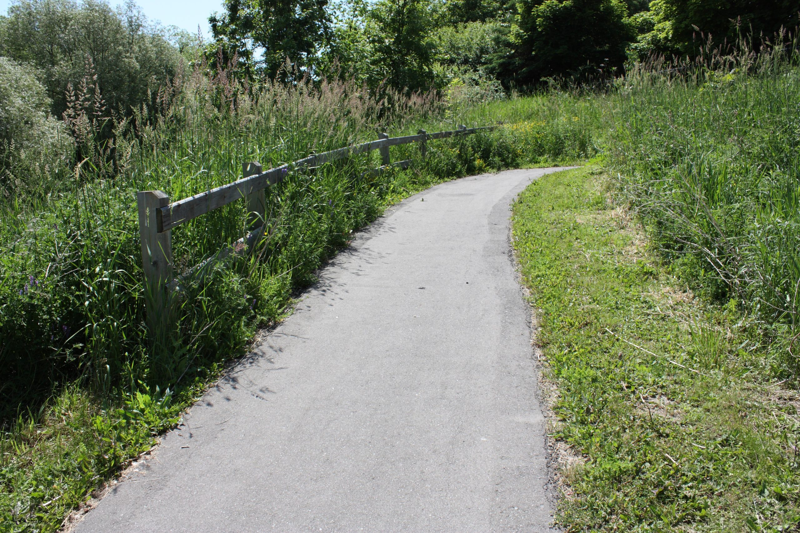
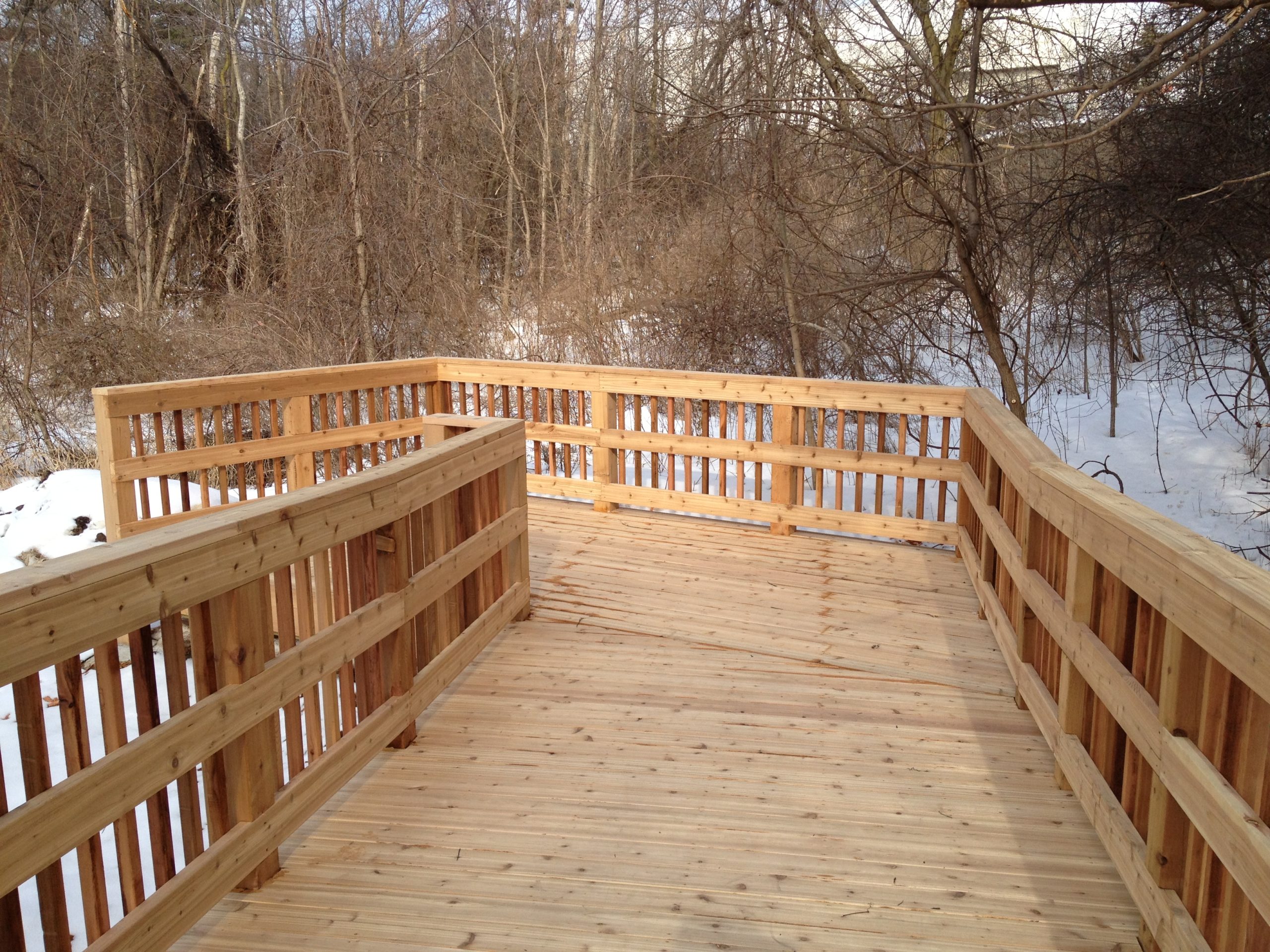
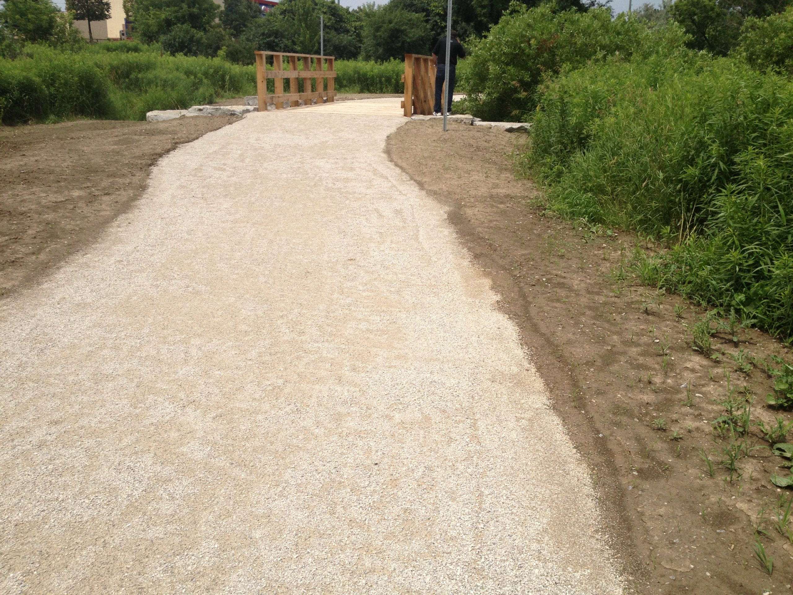
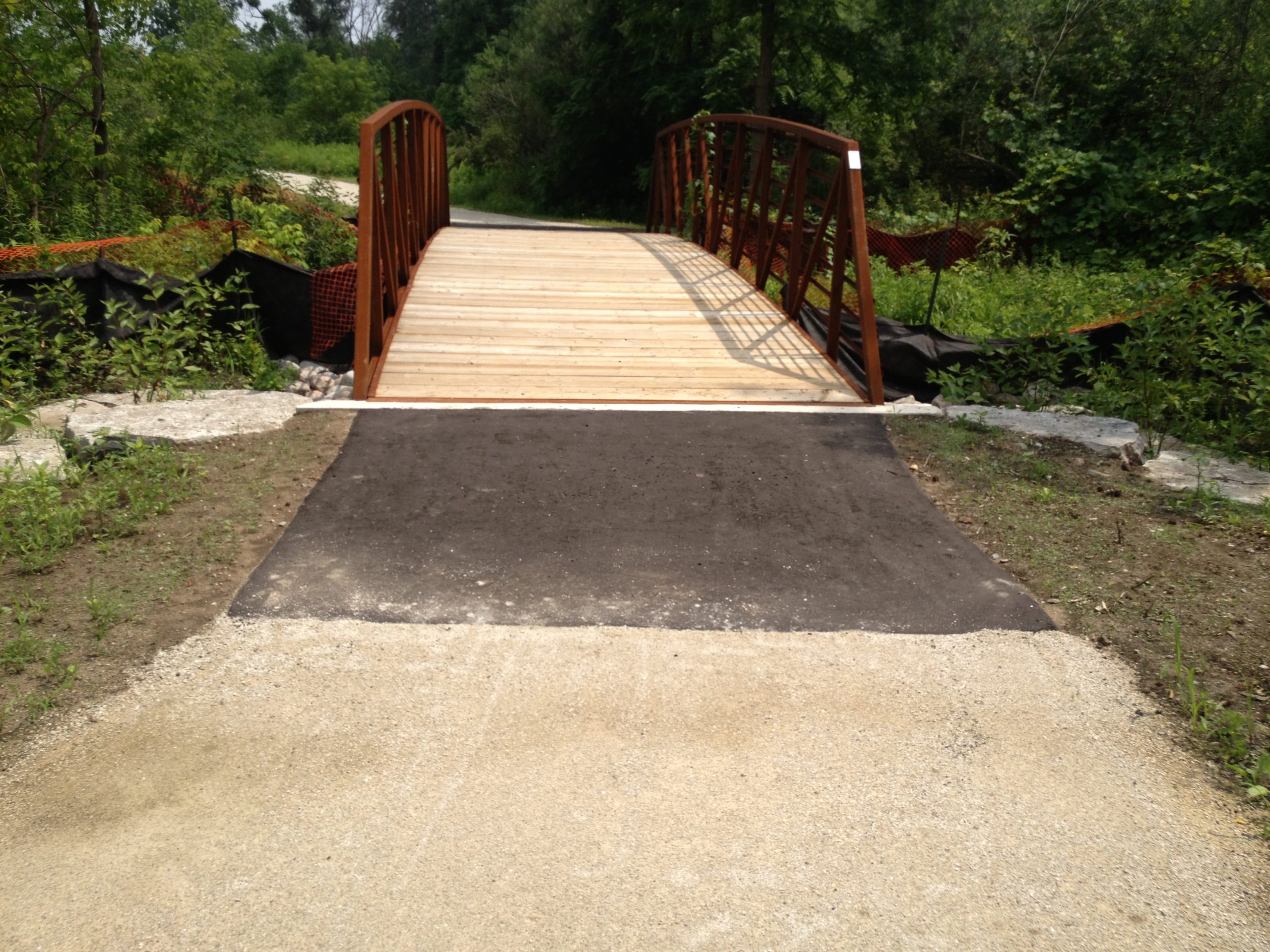
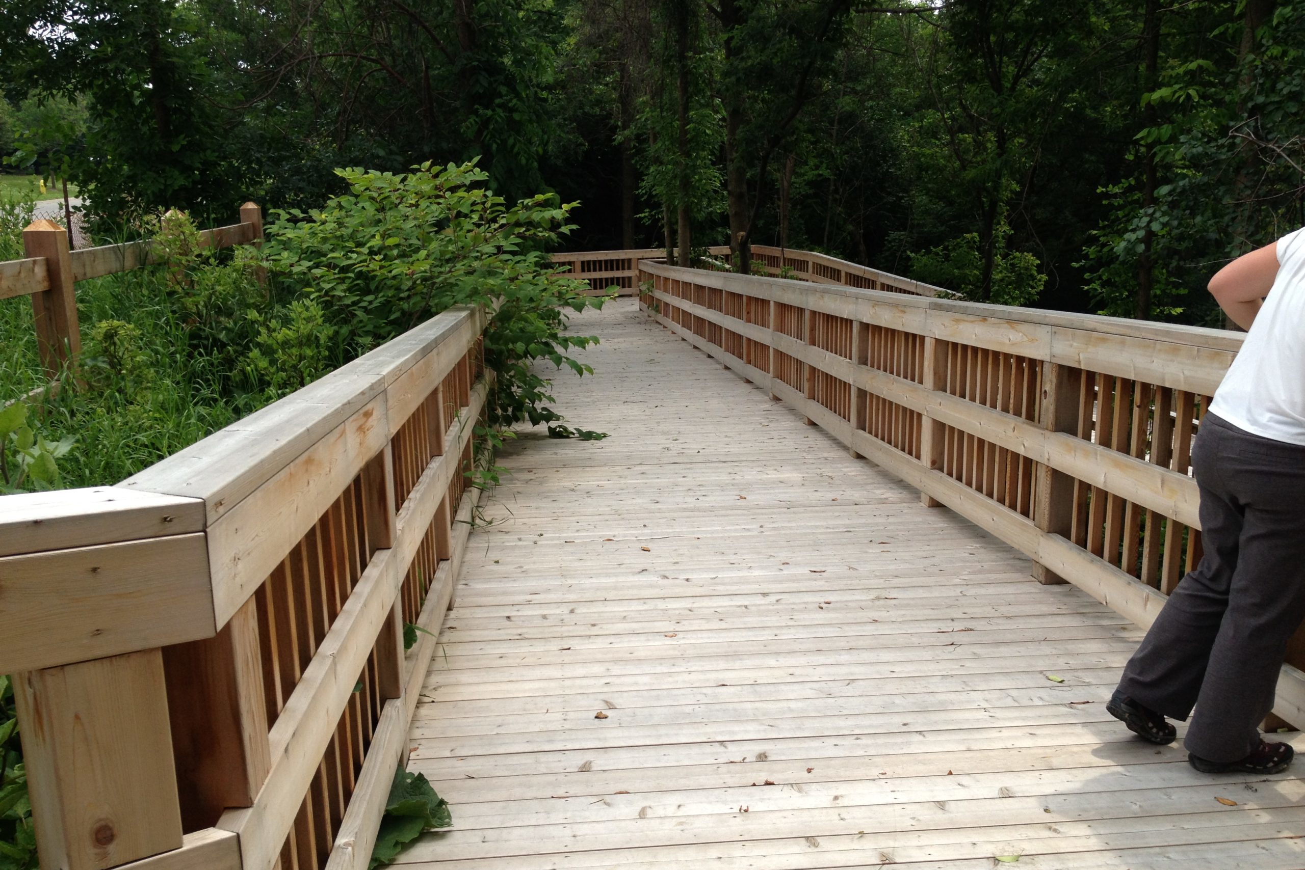
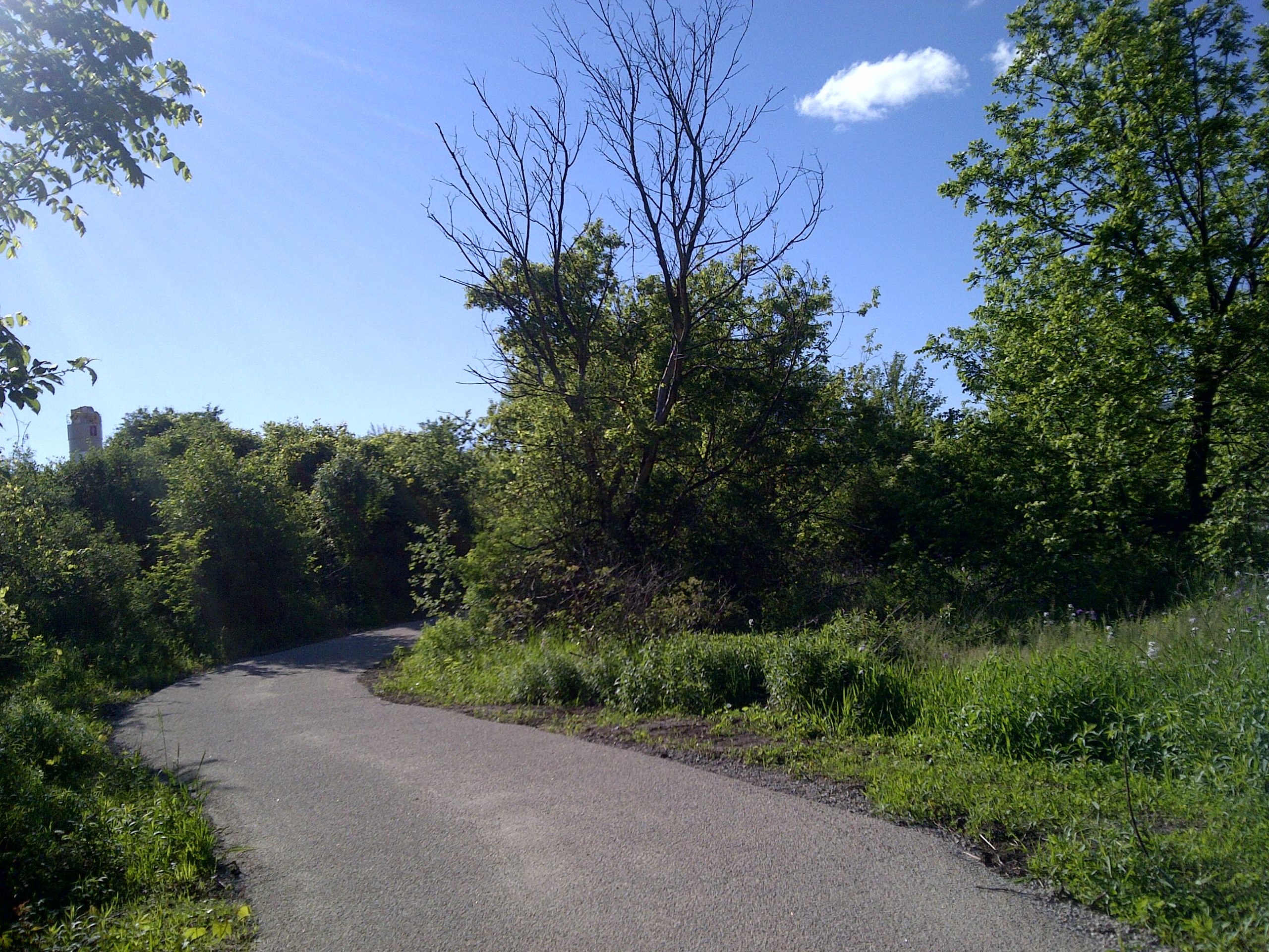
This scenic Humber River floodplain area features a series of ecological/biological catchment areas in the form of wetlands & storm water ponds which allow for the storage of surface run off and storm water recharge prior to its release into the Humber River. Extensive native lowland & upland plantings was established around these catchment areas...
HomeCategoryOpen Space & Trails
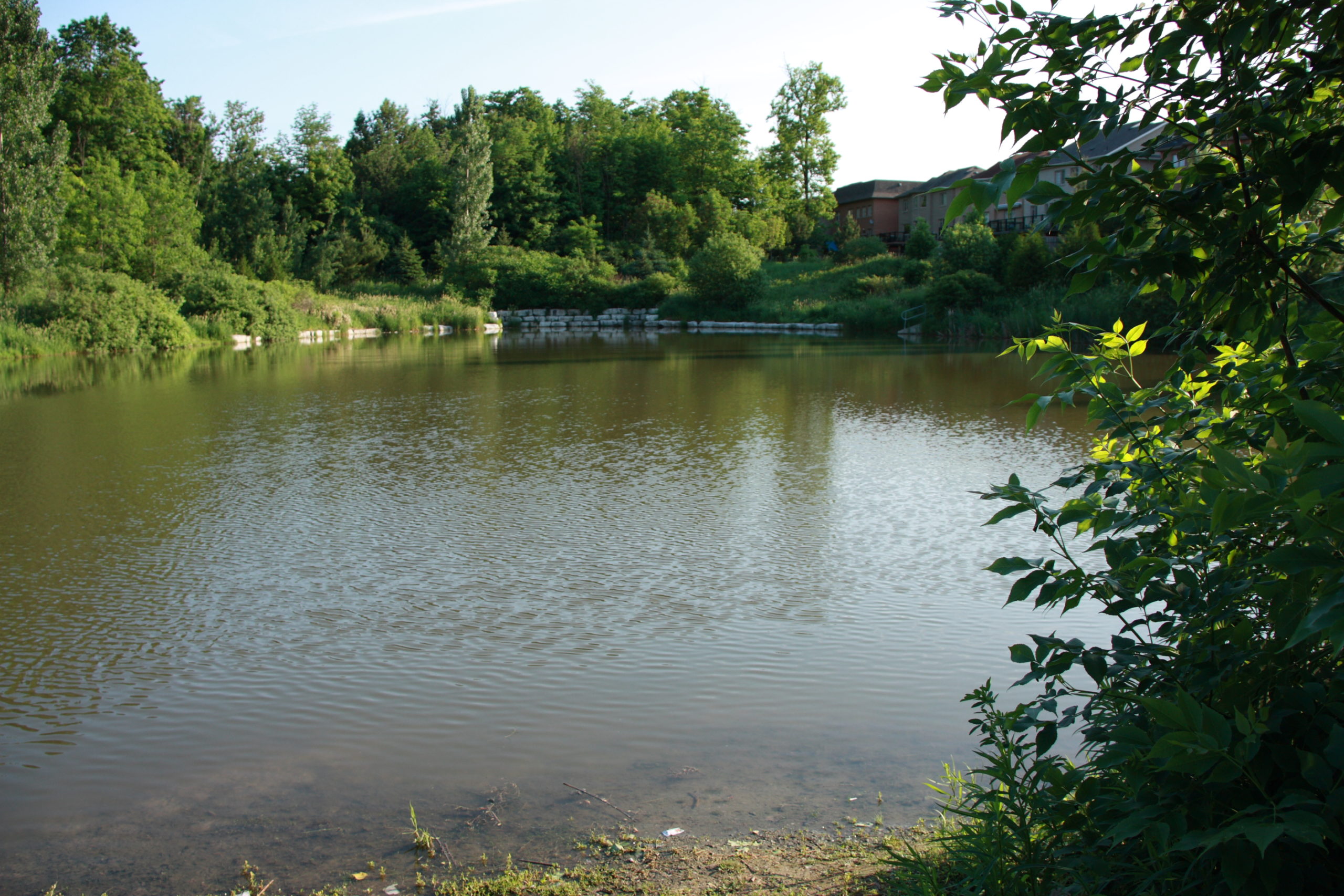
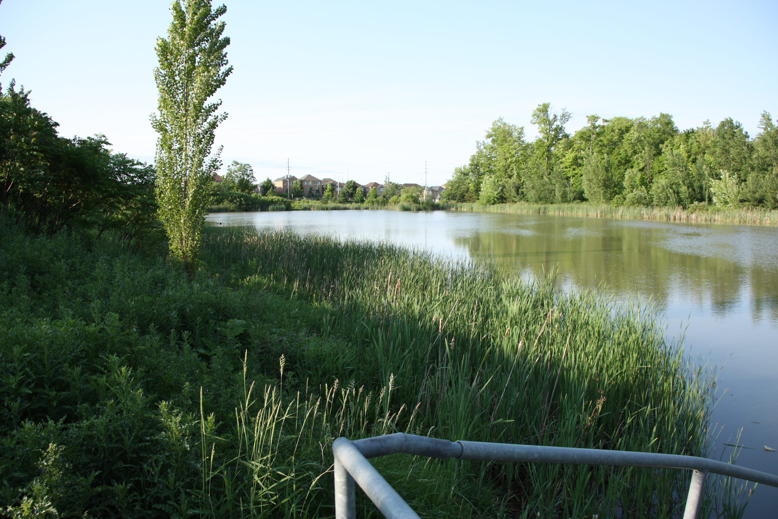
Incorporated as part of the Block 39 residential development, this storm water management pond provides recreational enjoyment by the community while providing storm water runoff storage and storm water recharge. A multipurpose trail & lookout point provides recreational points of interest while native and moisture tolerant plantings serve to filter sediments and pollutants from storm...
Working in collaboration with civil engineers, the development of storm water management ponds (SWM) within new community developments provide surface run off storage and storm water recharge while providing ecological habitats for wildlife. Of particular importance is the use of moisture tolerant, native plant species suited to perform under the fluctuating levels of water conditions...
The Eco Park was designed to form a green corridor between the natural features (Mallard marsh, Cardinal Woods and the East Humber River), while improving biological diversity & ecological functions; and providing recreational & educational opportunities. Key elements include the reshaping of the land to direct water flow patterns & maximize storm water recharge as...
This trail retrofit provided newly renovated trail entrances off of Bayview Avenue and Hwy 7. Trail improvements included re-grading of trail connections from the adjacent residential community, the introduction of new custom metal fabricated pedestrian bridges to provide improved access and visual interest.
For over a decade, Landscape Planning Limited has been designing and overseeing the implementation of the Bartley Smith Greenway. Phase 4 was completed in 2013 and eff ectively provided pedestrian linkages to existing trail networks to the north of Rutherford Road and south of Jacod Keff er Parkway, along the Don River Tributary. Extensive consultation...

